Bryars & Bryars
Ottens’ Map of the Central Netherlands
Ottens’ Map of the Central Netherlands
Couldn't load pickup availability
Hollandiae Comitatus una cum Ultrajectino Dominio nec non maximis partibus Geldriae Ducatus, per C. Specht
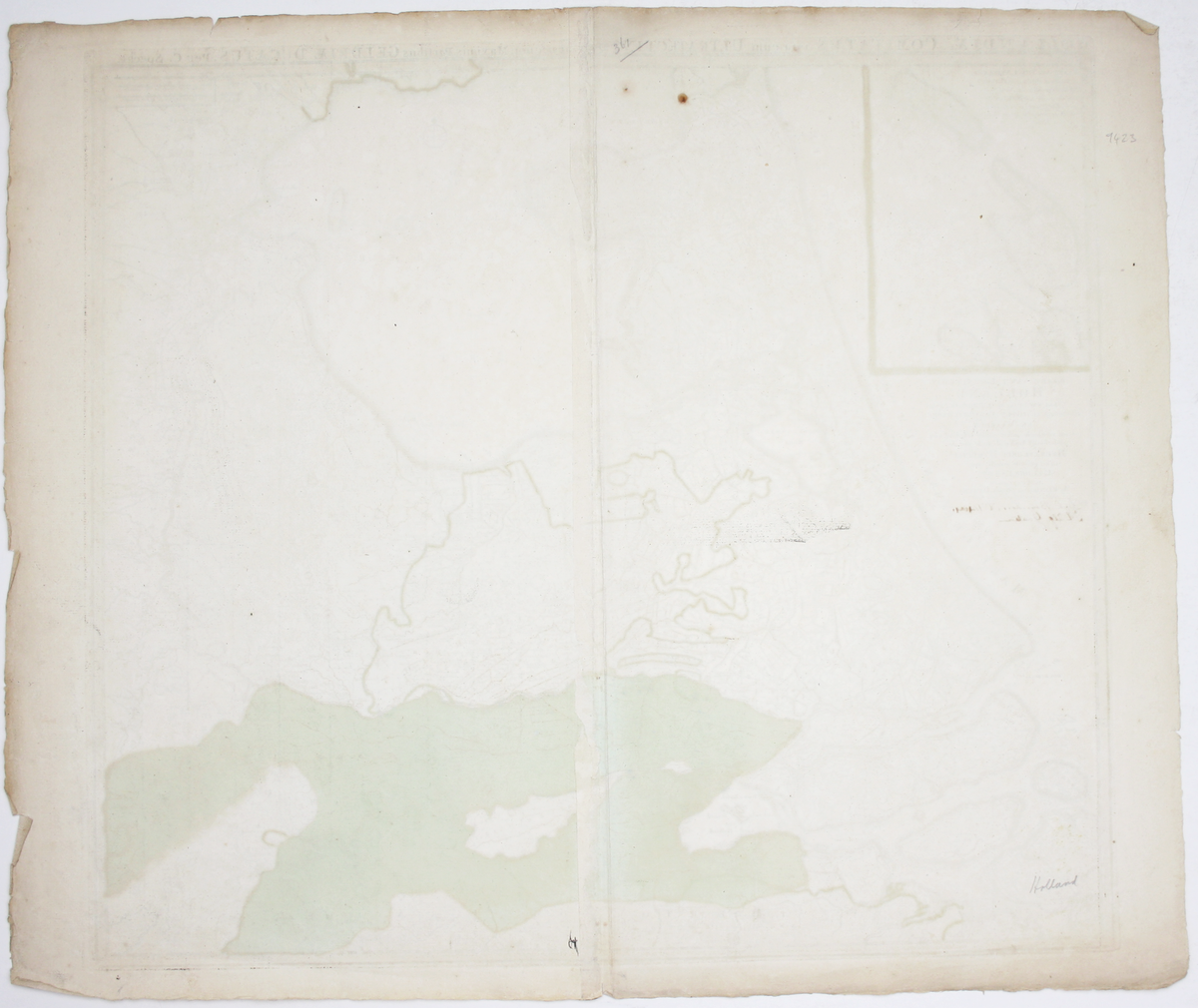
This example of Caspar Specht’s map has been annotated in a contemporary hand to record the ‘dyk breuken’ (dyke breaches) of 1740-41 and the location of ‘hulp gaaten’ (sluice gates), all in the southern portion of the map. There does indeed seem to have been severe flooding in the Nijmegen area in the winter of 1740-41.
The Ottens firm was known for creating composite atlases, constructed to order according for particular clients; detailed local knowledge would be in keeping.
Condition & Materials
Copper engraving, 52 x 58 cm, inset map of Texel and Vlieland in upper left corner, original hand colour, one or two marginal nicks and tears, blank verso.
Share