Bryars & Bryars
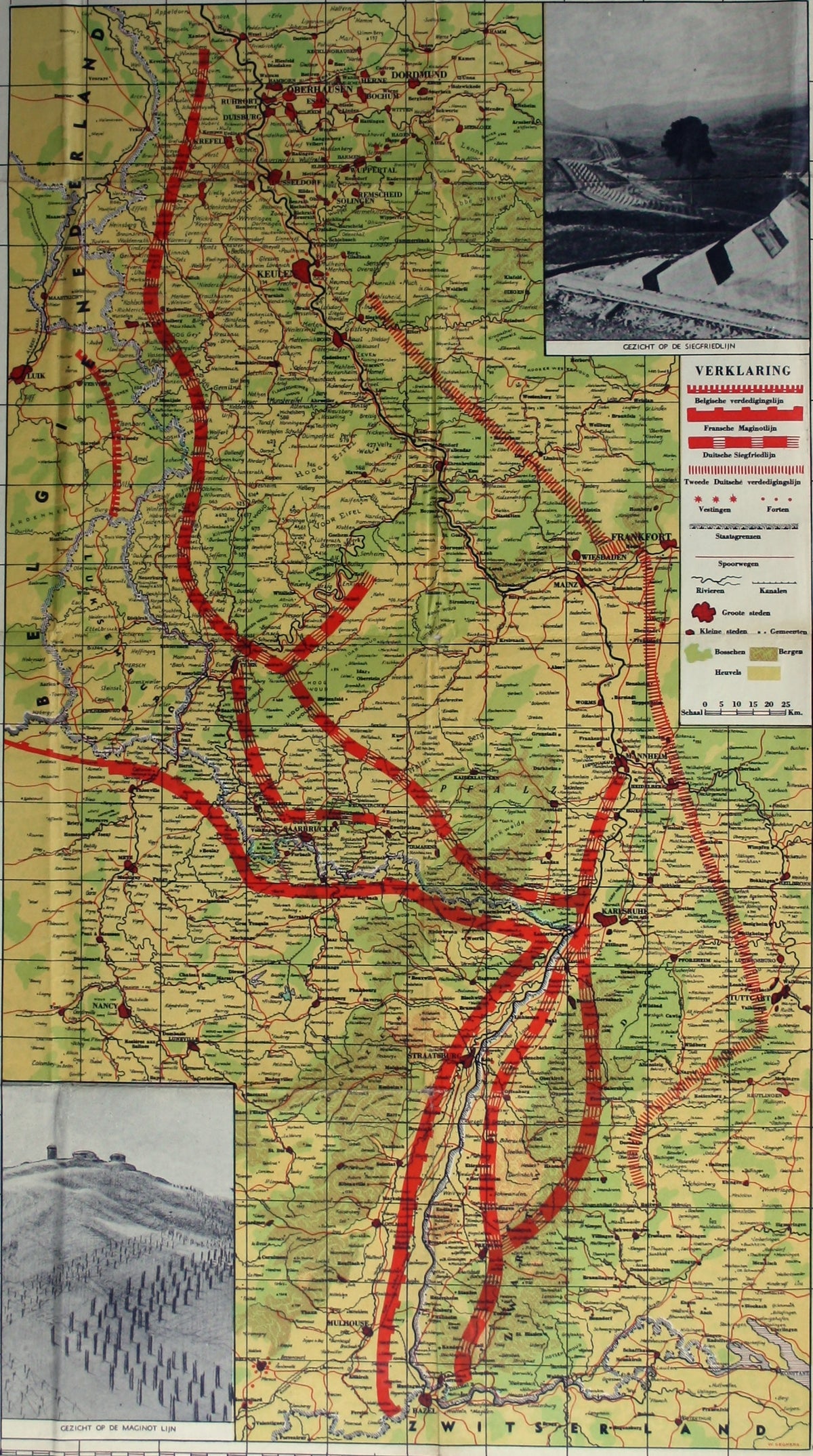
Phoney War Map of the Maginot & Siegfried Lines
Phoney War Map of the Maginot & Siegfried Lines
Couldn't load pickup availability
De Maginot – En Siegfried Line. Met alle steden, germeenten, spoorwegen, verstingen en versterkingen, bosschen, heuvels, enz.
This map was published during the Phoney War, when Belgium and the Netherlands had both proclaimed their neutrality and most observers anticipated a drawn out conflict on the continent as there had been between 1914-18.
British newspapers began publishing new ‘war maps of the Western Front’. The costly chain of French fortifications known as the Maginot Line did indeed deter a frontal assault, as during the Blitzkrieg of May 1940 the German forces swept through the neutral Low Countries, bypassing it altogether.
Condition & Materials
Map of the Franco-German frontier, sheet size 73 x 55 cm, printed in colours, illustrated with photographs showing the formidable obstacles faced by either side, Dutch text, blank verso.
References
Worldcat locates half a dozen examples of this map in Dutch institutions, giving three OCLC numbers: 71569063, 192112338 and 68942430.
Share