Bryars & Bryars
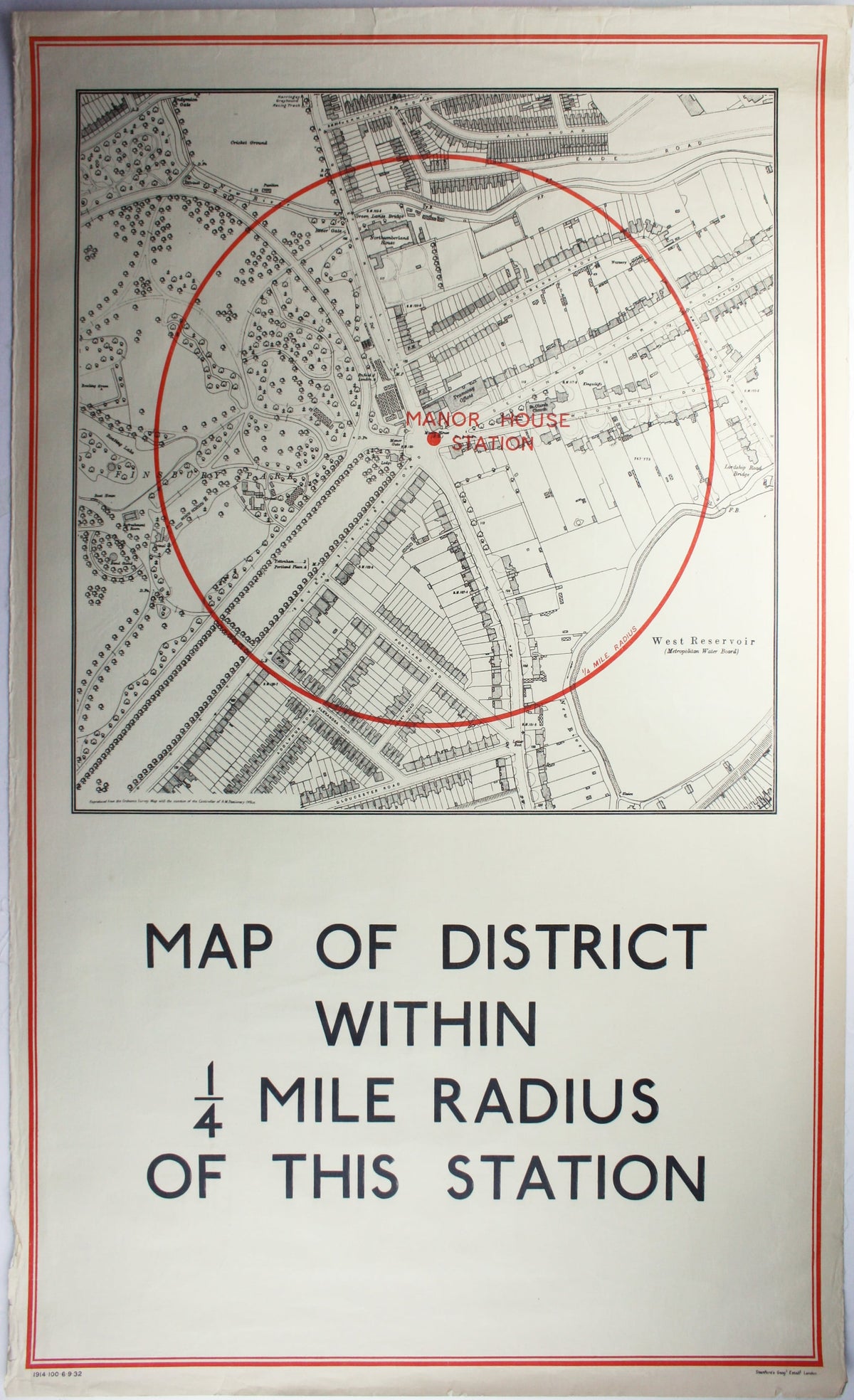
Quarter Mile Radius Map of Manor House Station
Quarter Mile Radius Map of Manor House Station
Couldn't load pickup availability
District within ¼ mile radius [of] Manor House
Stanford’s was a firm of map publishers as well as map retailers until after the Second World War, with a lucrative Ordnance Survey contract. In the late 1920s Stanford’s began supplying the Underground with small runs of maps for local display, based on the Ordnance Survey and confined to a quarter-mile radius from each station. They were printed in very low numbers: in this instance just 100 examples.
Manor House, one of the stations designed by Charles Holden as part of the Piccadilly Line extension, opened on 19 September 1932. Our map is dated 6 September, and would have been among the first run intended for display in the new station.
Condition & Materials
Double royal quarter mile radius map of Manor House station, 101 x 62.5 cm, printed in red and black, trivial edge-wear, laid on linen as issued.
Share