Bryars & Bryars
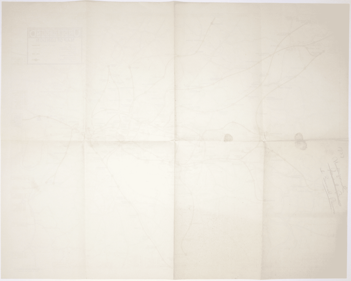
Underground Group’s 1927 Double Crown Station Map
Underground Group’s 1927 Double Crown Station Map
Couldn't load pickup availability
The map shows bus, tram and train services operated by the Underground Group and is very similar to the pocket map issued in guidebooks c.1924 (illustrated in Dodd’s Maps of London’s Transport p. 101). Features such as the symbol used for motor bus connections are identical.
The background roads appear to be printed in a darker ink than some earlier examples of the double crown we have seen, with additional nomenclature (eg Osterley Park) and additional bus routes – which presumably reflect the expansion of the network. The map promotes integrated travel, using all available means of public transport to make a journey.
Condition & Materials
Double crown station wall map, 61 x 76.5 cm (24 x 30 inches), print code 223-1000-25-2-27, printed in black and red, blank verso with a note of subject matter written in blue pencil; a very clean example.
References
A quad royal poster version is illustrated by Leboff and Demuth (‘No need to ask!’ p. 64).
Share