£250.00
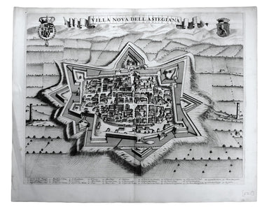
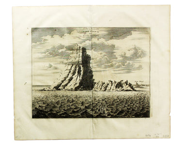
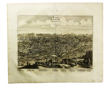
Admiral de Fonte & the Northwest Passage
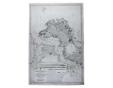
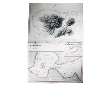
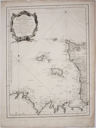
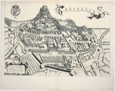
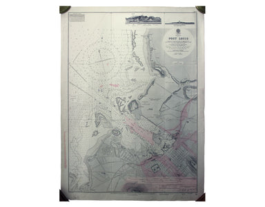
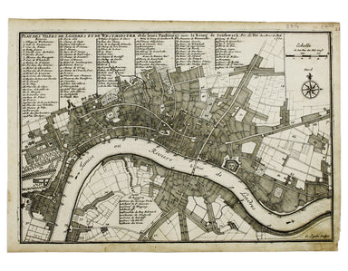
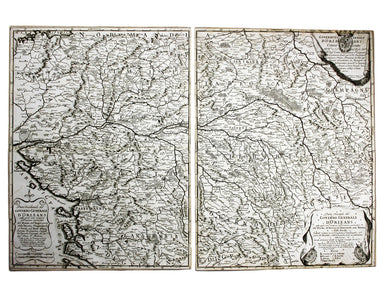
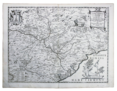
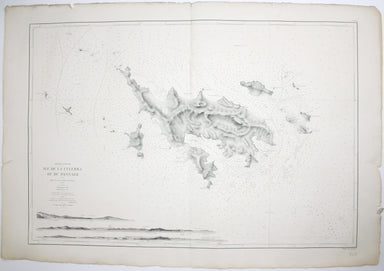
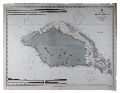
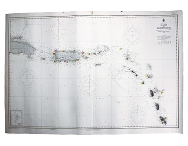
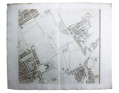
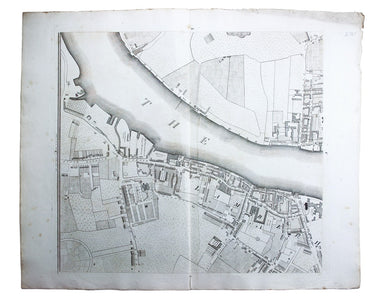
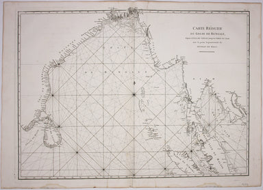
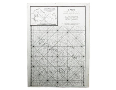
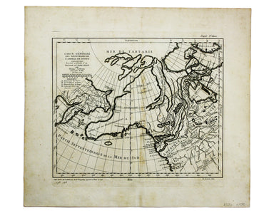
Carte générale des découvertes de l’Amiral de Fonte, representant le grande probabilité d’un Passage au Nord Ouest Maps depicting the purported voy...
View full details