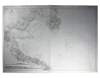
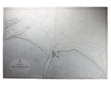
Admiralty Chart of Dublin Bay
This chart of Dublin bay shows soundings etc, with interior detail of relief and settlements (including eastern Dublin), and inset coastal profiles...
View full details
This chart of Dublin bay shows soundings etc, with interior detail of relief and settlements (including eastern Dublin), and inset coastal profiles...
View full details
This British chart of Durban port was engraved by John and Charles Walker. It shows soundings etc, interior detail of relief and settlements includ...
View full details
South America – British Guiana – Georgetown and mouths of Demerara and Essequibo Rivers This British chart of Georgetown shows soundings etc, with ...
View full details
China – East Coast – Province of Shan Tung – Kyau Chau Bay This is a British chart of Jiaozhou Bay on the southern coast of the Shandong Peninsula....
View full details
This chart of Jamaica shows soundings etc, with interior detail of relief, roads and settlements, and an inset of Morant Cays. First published in 1...
View full details
Sheet III – West Coast of India – from Arnol I. to Kundari I This chart shows the approaches to Bombay harbour, modern Mumbai, with significant det...
View full details
China Sea – Banka Strait This chart of the Bangka Strait was first published in 1858, but revised from British and Dutch surveys. Bangka and Sumatr...
View full details
South Pacific Ocean – Santa Cruz Islands – Vanikoro Islands (La Pérouse) This British chart of Vanikoro was first published in 1873, with correctio...
View full details
Port Louis is the capital and principal port of Mauritius, which remained a British colony until 1968. Condition & Materials Engraved British c...
View full details