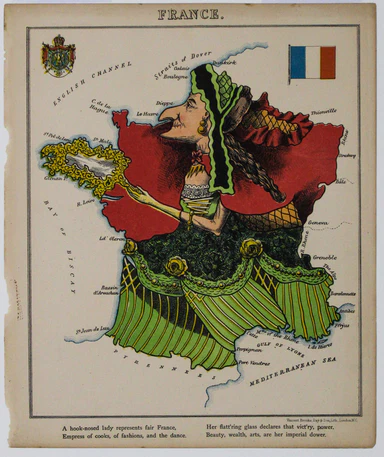
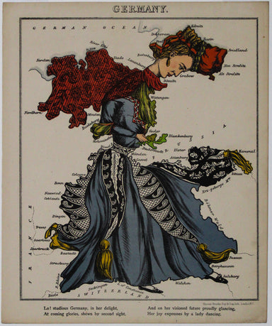
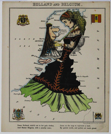
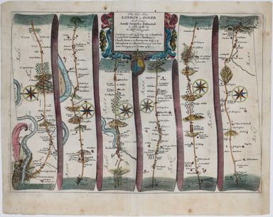
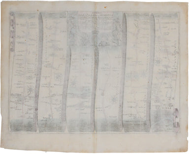
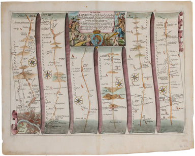
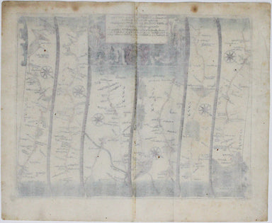
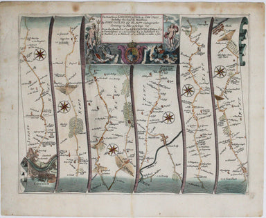
Aleph's Caricature Map of France
Though credited on the title-page under his pen-name ‘Aleph’, William Harvey himself gives all the credit for this series of comic maps to a “young...
View full detailsThough credited on the title-page under his pen-name ‘Aleph’, William Harvey himself gives all the credit for this series of comic maps to a “young...
View full detailsThus anthropomorphic map of Holland and Belgium was published in “Geographical Fun: Being Humorous Outlines of Various Countries.”. Though credited...
View full details[Greek title:] Biblos tes demosias euches... James Duport’s translation was first published in 1665 and adapted from the 1638 translation of Elias ...
View full detailsDanny Arnold was a Canadian actor and impresario whose vaudeville and wild west shows were a feature of the British seaside from the late 1950s unt...
View full detailsHoyle’s games improved; being practical treatises on whist, quadrille, piquet, chess, back-gammon, draughts, cricket, Tennis, Quinze, Hazard, Lansq...
View full detailsThe British Empire Exhibition was, at the time, the largest exhibition staged anywhere in the world; a high profile, postwar statement of confidenc...
View full detailsOur journey to Aberystwyth begins in London and follows the road northwest, past Tiburn and Hyde Park, through Camden and Acton, and via Beaconsfie...
View full detailsOur journey to Dover begins in London and follows the road through Deptford, Blackheath, Shooter’s Hill, and Dartford, reaching Dover via Rochester...
View full detailsThis road map includes London, Islington, and Highgate, and extends as far as Towcester. It was published as sheet 21 in the 1698 folio edition of ...
View full detailsOur journey to Hythe begins in London and follows the road through East Peckham and Eltham, reaching Hythe via Maidstone. Thousands of miles of roa...
View full detailsOur journey begins in London and follows the road west through Knightsbridge and Kensington (with Hyde Park to one side), Hammersmith and Turnham G...
View full detailsOur journey takes us along the road between the university towns of Oxford and Cambridge, via Bedford. Thousands of miles of roads were surveyed fo...
View full detailsSmith’s New Map of Europe, with the great roads, carefully drawn from the latest authorities Brothers John and Gilbert Jesser Pickett worked in par...
View full detailsSince its first publication in 1862, and before the detailed Ordnance Survey map of London, Stanford's scrupulously revised and updated Library Map...
View full detailsThis map of the Heptarchy, or seven Anglo-Saxon kingdoms, was engraved by William Hole for the first illustrated edition of William Camden's Britan...
View full detailsThis map of South Africa was published by The Times during the Second Anglo-Boer War, for the benefit of members of the British public following th...
View full details