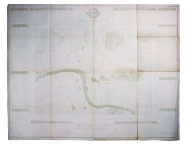
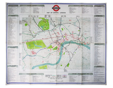
1946 Station Map of Central London
The introduction of Beck's diagram did not obviate the need for geographically accurate maps, which pinpointed the location of Underground stations...
View full details

The introduction of Beck's diagram did not obviate the need for geographically accurate maps, which pinpointed the location of Underground stations...
View full details
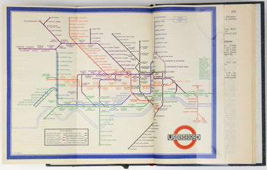
A first edition of the famous diagram from January 1933 Beck’s diagram is one of the most innovative and influential designs of the twentieth centu...
View full details
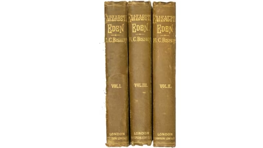
One of those Victorian novels which is both rare and interesting. The novel deals with (somewhat traditionally) a disputed inheritance, but also (...
View full details

This important map of the ‘Gulag’, the Soviet system of forced labour camps, is seemingly the earliest published example of what was to become one ...
View full details
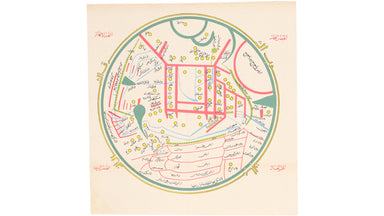
Please note: this is not an 11th century manuscript map, it is the first printed edition (centuries after the map was drawn) following its rediscov...
View full details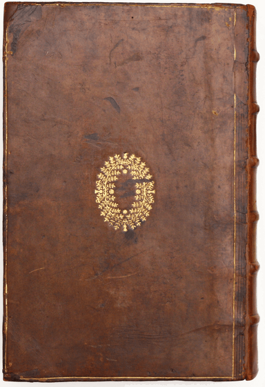
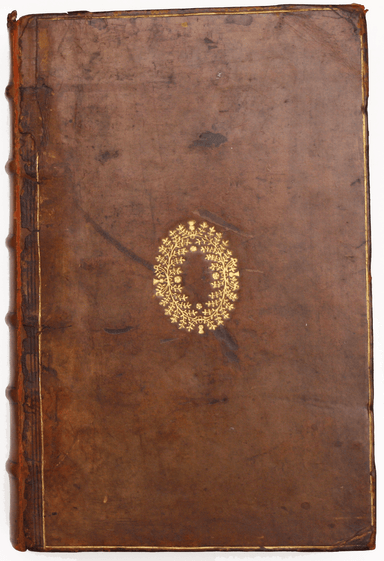
[Greek title: Demosthenous logoi, kai prooimia demegorika, kai epistolai: syn tais exegesesin ophelimotatais, tou Oulpianou rhetoros, te ton palaio...
View full details
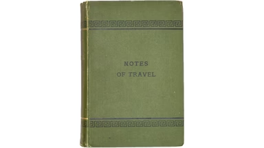
Notes of Travel. Extracts from Home Letters written during a Two Years’ Tour Round the World, 1879-1881 Only edition. This is a presentation copy, ...
View full details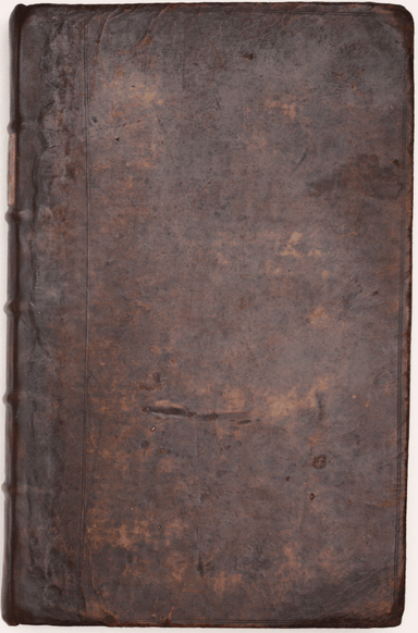
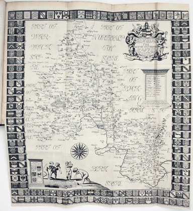
Plot, Robert: The natural history of Oxford-shire, being an essay toward the natural history of England. By R.P. LL.D. Oxford: Printed at the Theat...
View full details

Reuben Ramble's Travels in the Counties of England This is a county atlas designed for children or ‘the little geographer’, with simple text by Sam...
View full details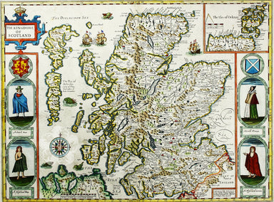
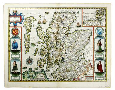
Cartographically Speed follows Mercator, but his is one of the most distinctive and decorative early maps of Scotland. The portraits in the borders...
View full details
