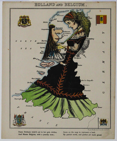
Aleph's Caricature Map of Holland & Belgium
Thus anthropomorphic map of Holland and Belgium was published in “Geographical Fun: Being Humorous Outlines of Various Countries.”. Though credited...
View full details
Thus anthropomorphic map of Holland and Belgium was published in “Geographical Fun: Being Humorous Outlines of Various Countries.”. Though credited...
View full details
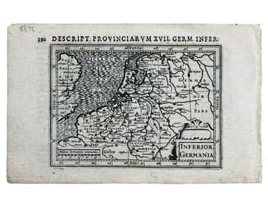
This miniature map of the Low Countries was published in the first edition of Tabularum geographicarum contractarum libri, a geographical work whic...
View full details
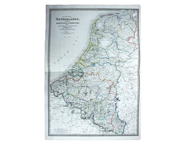
Map of the Netherlands including the Grand Duchy of Luxembourg. With the post roads and stations and the limites of Holland and Belgium This map of...
View full details
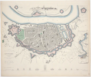
This map of Antwerp, engraved by Benjamin Rees Davies after William Barnard Clarke, includes elevations of principal buildings and a view of the ci...
View full details
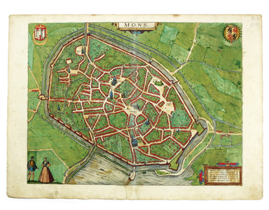
This map of Mons in Belgium is from the Civitates Orbis Terrarum, one of the most significant cartographic works of the late sixteenth-century, pri...
View full details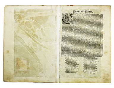
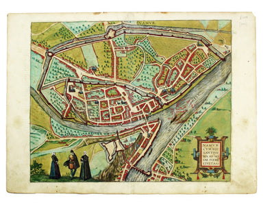
This plan of Namur in Belgium is from the Civitates Orbis Terrarum, one of the most significant cartographic works of the late sixteenth-century, p...
View full details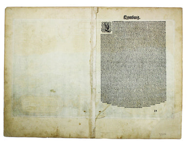
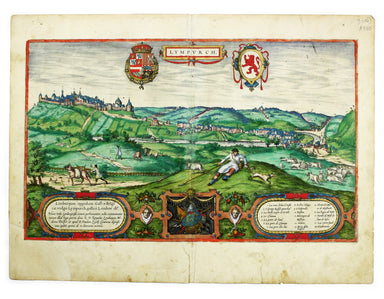
This map of Limbourg or Limburg is from the Civitates Orbis Terrarum, one of the most significant cartographic works of the late sixteenth-century,...
View full details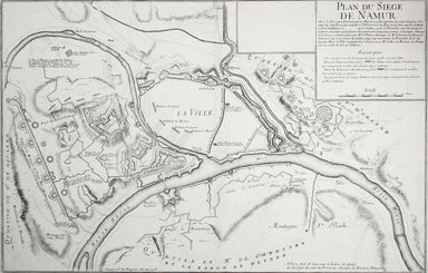
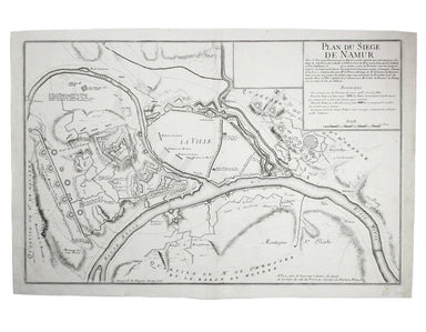
Plan du Siege de Namur avec les nouveaux travaux que sa Majesté y a fait adjouter qui sont marquees à la lettre A. Cette place fut reduitte à l’obb...
View full details
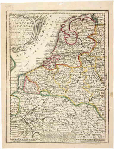
Le XVII Provinces des Pays Bas divisées en Provinces Unies connues sous le nom de Hollande, et en Pays Bas Catholiques connues sous le nom de Fland...
View full details
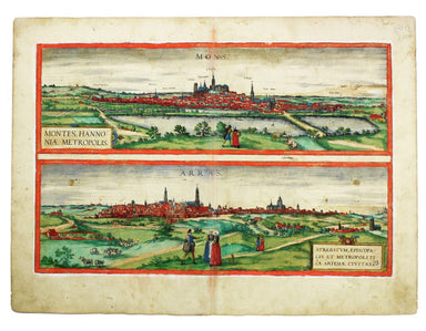
This map of Mons in Belgium is shown with Arras in northern France. It is from the Civitates Orbis Terrarum, one of the most significant cartograph...
View full details
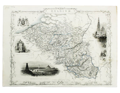
This map of Belgium was engraved by John Rapkin for the Illustrated Atlas. Vignettes including Antwerp cathedral and monuments on the plains of Wat...
View full details
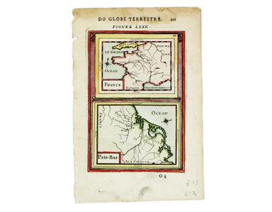
France/Paîs Bas This map of France and the Low Countries is from Mallet’s ‘Description de l’Univers. Condition & Materials Copper engraving, 15...
View full details
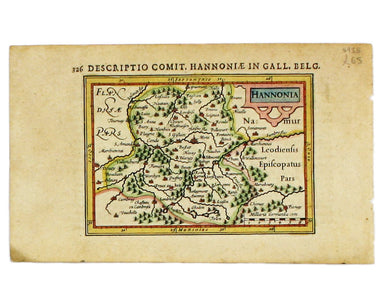
Condition & Materials Copper engraving, 9.5 x 13.4 cm, recent hand-colour, Latin text on verso; map of Hainault.
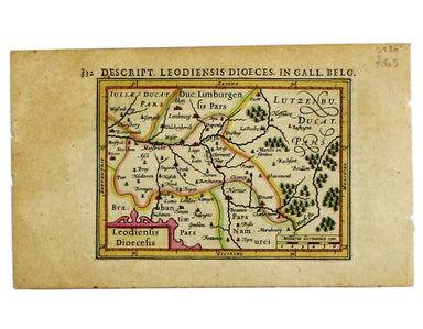
Condition & Materials Copper engraving, 9.5 x 13.4 cm, recent hand-colour, Latin text on verso; map of Liège.
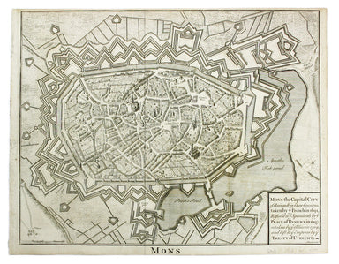
Condition & Materials Copper engraving, 39.5 x 49.5 cm, engraved by J. Basire, black and white as issued, blank verso; map of Mons.
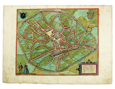
This plan of Tienen in Flanders is from the Civitates Orbis Terrarum, one of the most significant cartographic works of the late sixteenth-century,...
View full details
