£250.00
Bellin's Map of Japan & Korea
Carte de Isles du Japont et la presqu' Isle de Coree avec les costes de la Chine depuis Pekin jusqua Canton . . . Bellin compiled maps like this on...
View full detailsCarte de Isles du Japont et la presqu' Isle de Coree avec les costes de la Chine depuis Pekin jusqua Canton . . . Bellin compiled maps like this on...
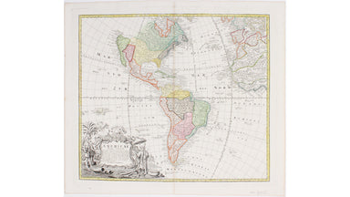
View full detailsOur map of the Americas was prepared for the Homann firm by Johann Matthias Hase, professor of mathematics in Wittenberg, on his stereographic hori...
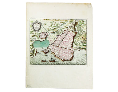
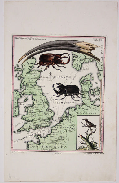
View full detailsCondition & Materials Copper engraving, 21 x 25.5 cm, original hand-colour, on a folio leaf 37 x 29 cm, blank verso.
This map of the British Isles and northwestern Europe charts George Edwards's travels between 1716 and 1730 and features male and female stag beetl...
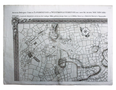
View full detailsEnvirons of Wembley from Rocque’s ‘An Exact Survey of the City’s of London, Westminster, ye Borough of Southwark and the Country Near Ten Miles Rou...
View full details