£250.00
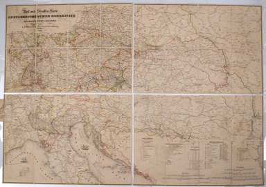
Post Roads of the Austro-Hungarian Empire
Folding map showing the post roads of the Austro-Hungarian Empire. Condition & Materials 4 folding engraved map sheets, which can be joined, e...
View full detailsFolding map showing the post roads of the Austro-Hungarian Empire. Condition & Materials 4 folding engraved map sheets, which can be joined, e...
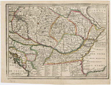
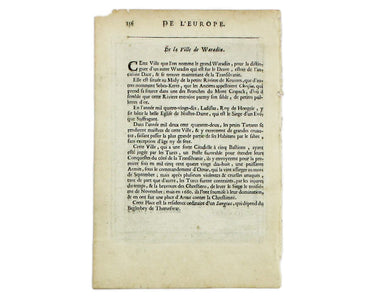
View full detailsLe Royaume de Hongrie, ou se trouvent la Transilvanie, la Moldavie, la Valaquie, la Bosnie la Servie et la Bulgarie, &c Our map of Hungary and ...
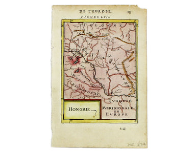
View full detailsThis map of Hungary is from Mallet’s Description de l’Univers. Condition & Materials Copper engraving, 15 x 11.5 cm, recent hand-colour, Frenc...
View full detailsLe Royaume de Hongrie, Principaute de Transilvanie, Sclavonie, Croatie, et partie de la Principaute de Valaquie, de la Bosnie, de la Servie et de l...
View full detailsThis map of Hungary was engraved by John Rapkin for the ‘Illustrated Atlas’. It features vignettes, including Budapest, engraved by John Rogers. Co...
View full details