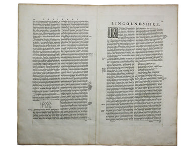
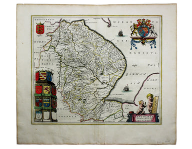
Blaeu’s Map of Lincolnshire
Blaeu and the rival Golden Age Dutch cartographic publishing house of Janssonius raced to bring out atlases of the British Isles in the 1630s and e...
View full details

Blaeu and the rival Golden Age Dutch cartographic publishing house of Janssonius raced to bring out atlases of the British Isles in the 1630s and e...
View full details
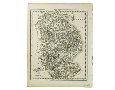
This characteristically clear and elegant map of Lincolnshire is by John Cary, one of the leading cartographic engravers, publishers and globe-make...
View full details
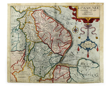
Lincolniae Comitatus ubi olim insederunt Coritani This map of Lincolnshire is from the second edition of Philemon Holland’s translation of Camden’s...
View full details
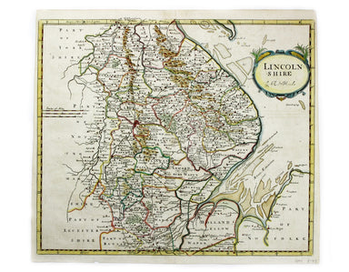
This map of Lincolnshire was engraved to accompany Gibson’s edition of Camden’s Britannia, first published in 1695. Condition & Materials Coppe...
View full details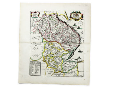
Blome published the first new series of county maps since Speed. In the straightened financial environment of post-Restoration London he had to rep...
View full details
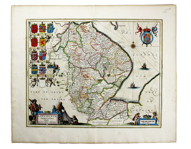
Lincolnia Comitatus Anglis Lyncolneshire Joannes Janssonius II (1588-1664) married into the Hondius family and, with Henricus Hondius, worked on a ...
View full details
