

Braun & Hogenberg's Map of Cambridge
Cantebrigia, opulentissimi Anglie Regni, urbs celeberrimi nominis, ab Academie conditore Cantabro, cognominata: a Granta, fluvio vicino, Cairgrant;...
View full details

Cantebrigia, opulentissimi Anglie Regni, urbs celeberrimi nominis, ab Academie conditore Cantabro, cognominata: a Granta, fluvio vicino, Cairgrant;...
View full details
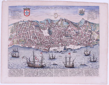
Olissippo quae nunc Lisboa, civitas amplissima Lusitaniae, ad Tagum, totius Orientis, et multarum Insularum Aphricaeque et Mericae emporium nobilis...
View full details
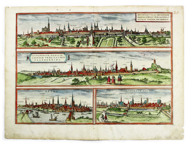
Brunopolis [with] Luneburgum [and] Brema [and] Aldenburgum Holsatiae Four north German towns are shown here on one sheet: Braunschweig, Lüneburg an...
View full details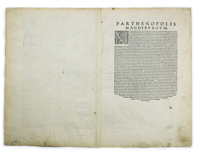
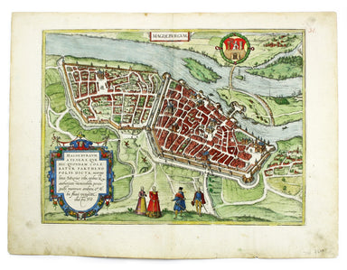
Magdeburgum, a Venere quae hic quondam colebatur Parthenopolis dicta, metropolitica Saxoniae urbs The cartouche on this plan of Magdeburg refers to...
View full details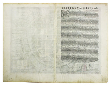
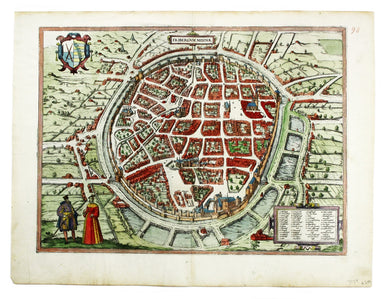
Fribergum Misinae The Civitates Orbis Terrarum was one of the most significant cartographic works of the late sixteenth-century, printed over 45 ye...
View full details
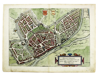
Wesalia in Ducatu Clivensi Urbs Clara Opibus The Civitates Orbis Terrarum was one of the most significant cartographic works of the late sixteenth...
View full details

This plan of Douai (Duacum) in northern France was published in the Civitates Orbis Terrarum, one of the most significant cartographic works of the...
View full details
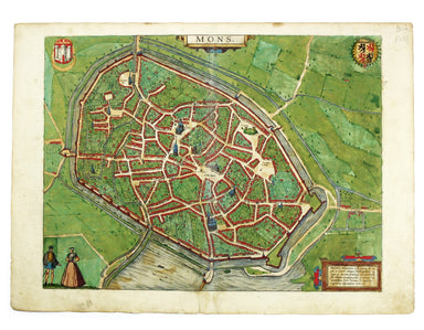
This map of Mons in Belgium is from the Civitates Orbis Terrarum, one of the most significant cartographic works of the late sixteenth-century, pri...
View full details
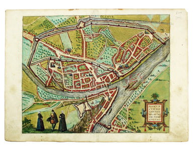
This plan of Namur in Belgium is from the Civitates Orbis Terrarum, one of the most significant cartographic works of the late sixteenth-century, p...
View full details
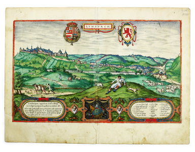
This map of Limbourg or Limburg is from the Civitates Orbis Terrarum, one of the most significant cartographic works of the late sixteenth-century,...
View full details
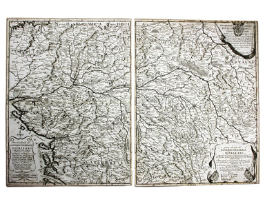
Parte Occidentale/Orientale del Governo Generale d’Orleans This map of the Duchy of Orleans is from Mercurio Geografico, an unusual and finely engr...
View full details
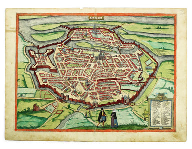
This plan of Metz in northeastern France is from the Civitates Orbis Terrarum, one of the most significant cartographic works of the late sixteenth...
View full details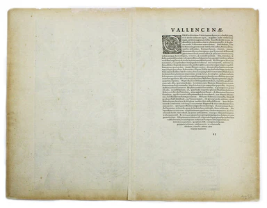
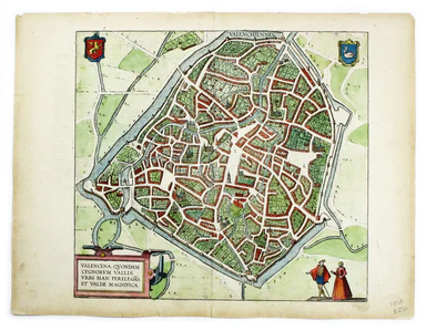
This plan of Valenciennes in northern France is from the Civitates Orbis Terrarum, one of the most significant cartographic works of the late sixte...
View full details
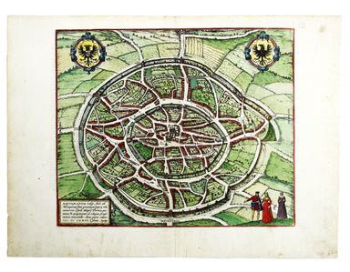
Aquisgranum A plan of Aachen, or Aix-la-Chapelle, Germany. The Civitates Orbis Terrarum was one of the most significant cartographic works of the l...
View full details
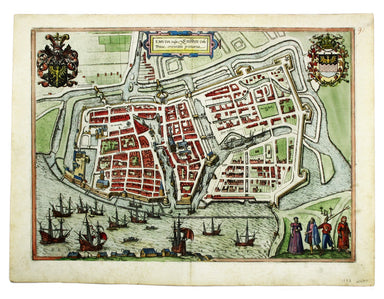
Emuda vulgo Embden A plan of Emden in northern Germany. The Civitates Orbis Terrarum was one of the most significant cartographic works of the lat...
View full details
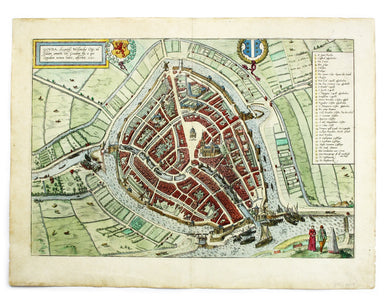
This plan of Gouda in the Netherlands is from the Civitates Orbis Terrarum, one of the most significant cartographic works of the late sixteenth-ce...
View full details
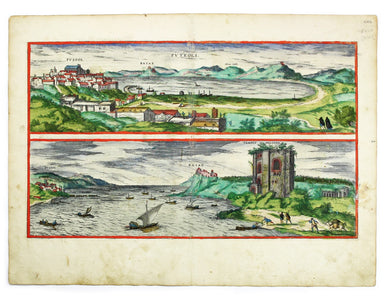
Views of two towns on the Bay of Naples, Pozzuoli and Baia, are here presented on one sheet. The Civitates Orbis Terrarum was one of the most signi...
View full details
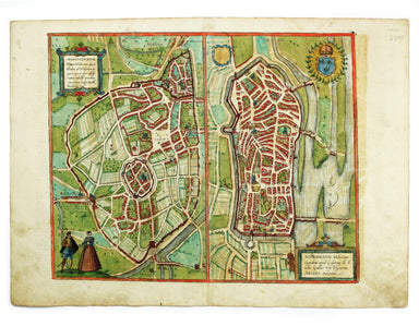
This map includes French town plans after Belleforest on one sheet: Autun in Burgundy and Nevers in Bourgogne. They are from the Civitates Orbis Te...
View full details
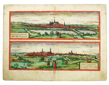
This map of Mons in Belgium is shown with Arras in northern France. It is from the Civitates Orbis Terrarum, one of the most significant cartograph...
View full details
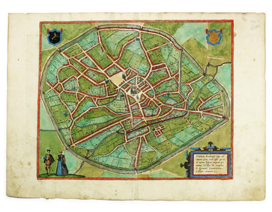
This plan of Tienen in Flanders is from the Civitates Orbis Terrarum, one of the most significant cartographic works of the late sixteenth-century,...
View full details
