
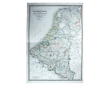
Wyld’s Map of the Low Countries
Map of the Netherlands including the Grand Duchy of Luxembourg. With the post roads and stations and the limites of Holland and Belgium This map of...
View full details

Map of the Netherlands including the Grand Duchy of Luxembourg. With the post roads and stations and the limites of Holland and Belgium This map of...
View full details
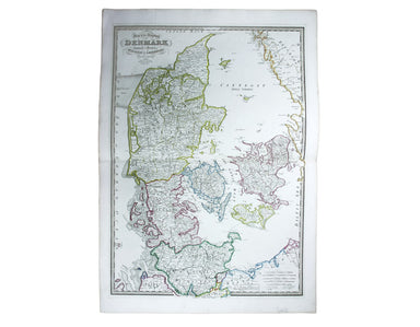
This map of Denmark is from Wyld's New General Atlas. James Wyld senior established a highly successful firm of map publishers, which passed to his...
View full details
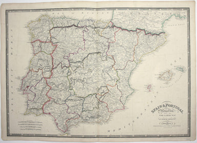
Spain and Portugal. Reduced from the large map in four sheets James Wyld senior established a highly successful firm of map publishers, which passe...
View full details
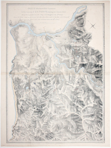
Sketch illustrative of the operations in the vicinity of Bayonne during the winter of 1813. Against the Light Division at the village of Arcangues ...
View full details
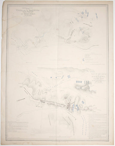
Sketch of the action near the Vigia de la Barrosa fought 5th March, 1811 between the allied armies under Sir Thomas Graham, and the French […] Plan...
View full details
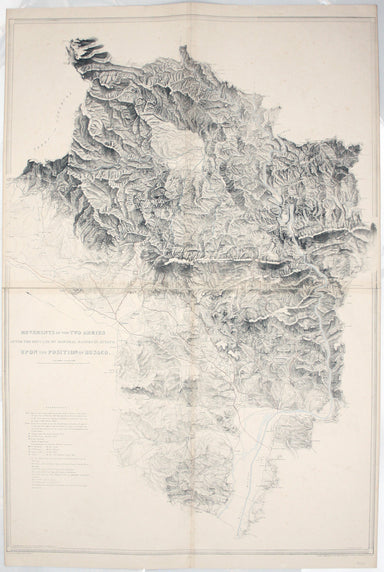
Movements of the two armies after the repulse of Marshall Massena’s attack upon the position of Bussaco This map was lithographed by AR Grive and p...
View full details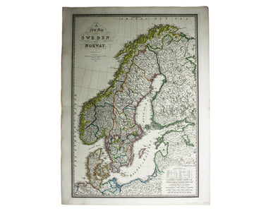
This map of Scandinavia is from Wyld's New General Atlas. James Wyld senior established a highly successful firm of map publishers, which passed to...
View full details
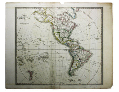
This map of America is from Wyld's New General Atlas. James Wyld senior established a highly successful firm of map publishers, which passed to his...
View full details
