

Blaeu’s Map of Corsica
SKU: 9223
Title:
Blaeu’s Map of Corsica
Date of publication:
Printed Measurement:
Publisher:
Colour:
Mapmaker:
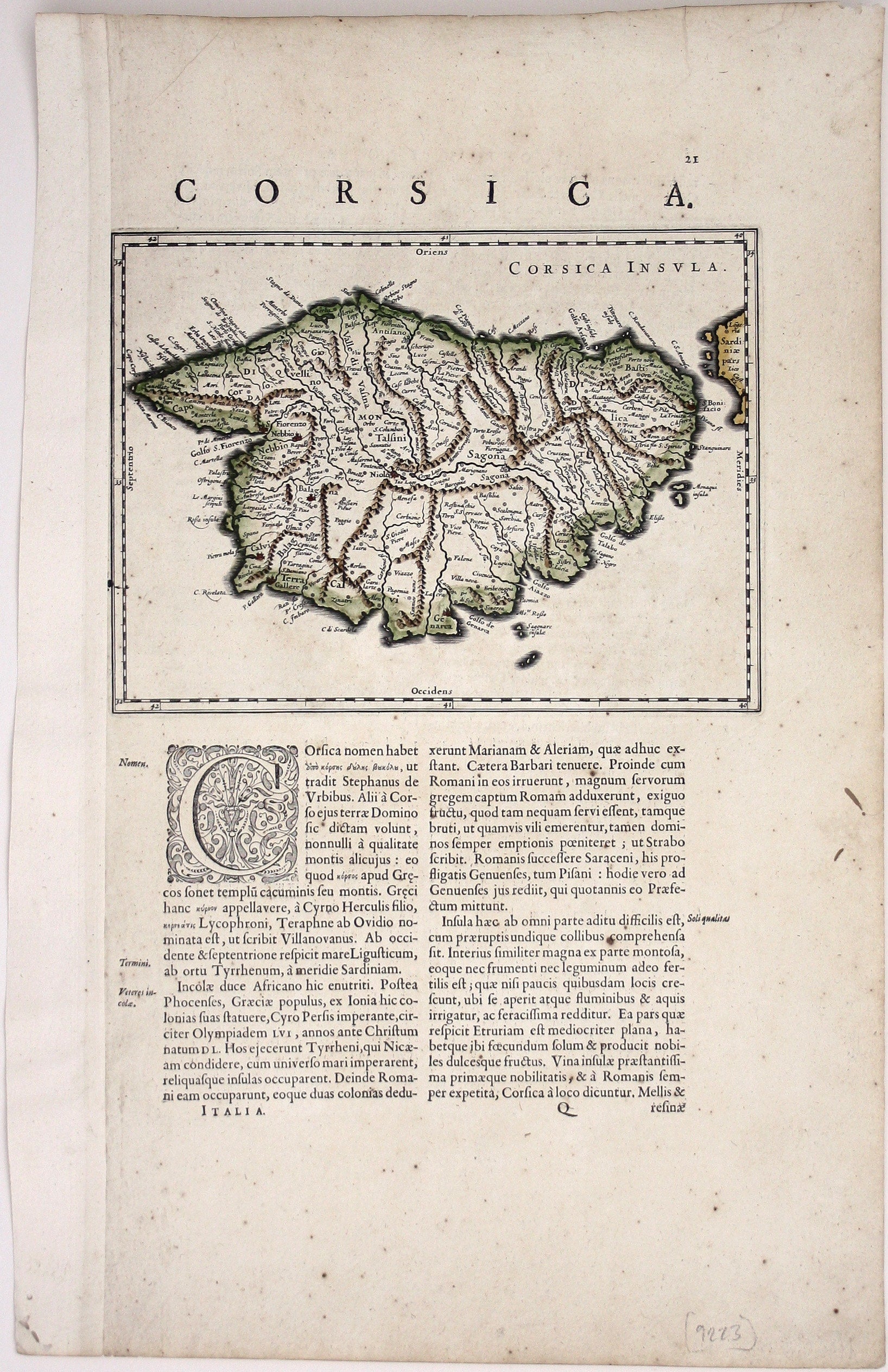
This map of the French island of Corsica, ruled by the Genoese in the 17th century and included in the Italian volume of Blaeu’s atlas, is oriented with north to the left of the map.
Condition & Materials Read more
Copper engraving, sheet size 49.5 x 30 cm, map 18 x 24 cm, modern hand colour, set within Latin text with further text on verso.
References
Koeman, Atlantes Neerlandici, Bl 36A. Read less