

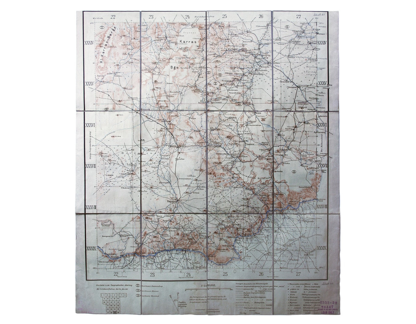
German Colonial Map of Warmbad
SKU: 8738
Title:
German Colonial Map of Warmbad
Date of publication:
Printed Measurement:
Colour:
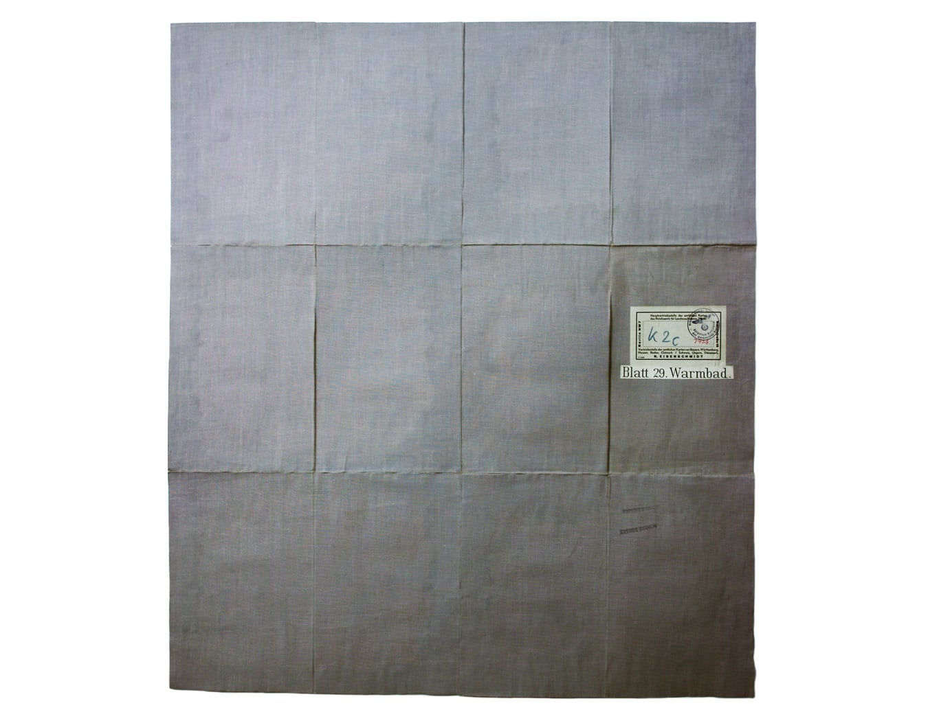
Blatt 29. Warmbad
This map covers the Karas region in modern Namibia (then German South West Africa), which was the scene of one of the earliest attempted genocides of the 20th century between 1904-1907. Read more
A fort at Warmbad manned by Schutztruppe was established in 1905. At least half the Herero and Namaqua populations were killed through starvation and the consumption of poisoned well water in the Namib Desert after they rebelled against German colonial rule.
Our example of the map has a number of old ink stamps. In the Nazi period it was in the possession of the Geographisches Institut Koloniale Auteilung Univeritat Berlin (the colonial section of the geographical institute of Berlin University); it later passed into the C.I.A. Map Library.
Condition & Materials
Folding map, sheet size 68 x 59.5 cm, printed in colours, dissected into 12 panels and laid on linen, with printed label and sheet number (29) on the cover. Read less