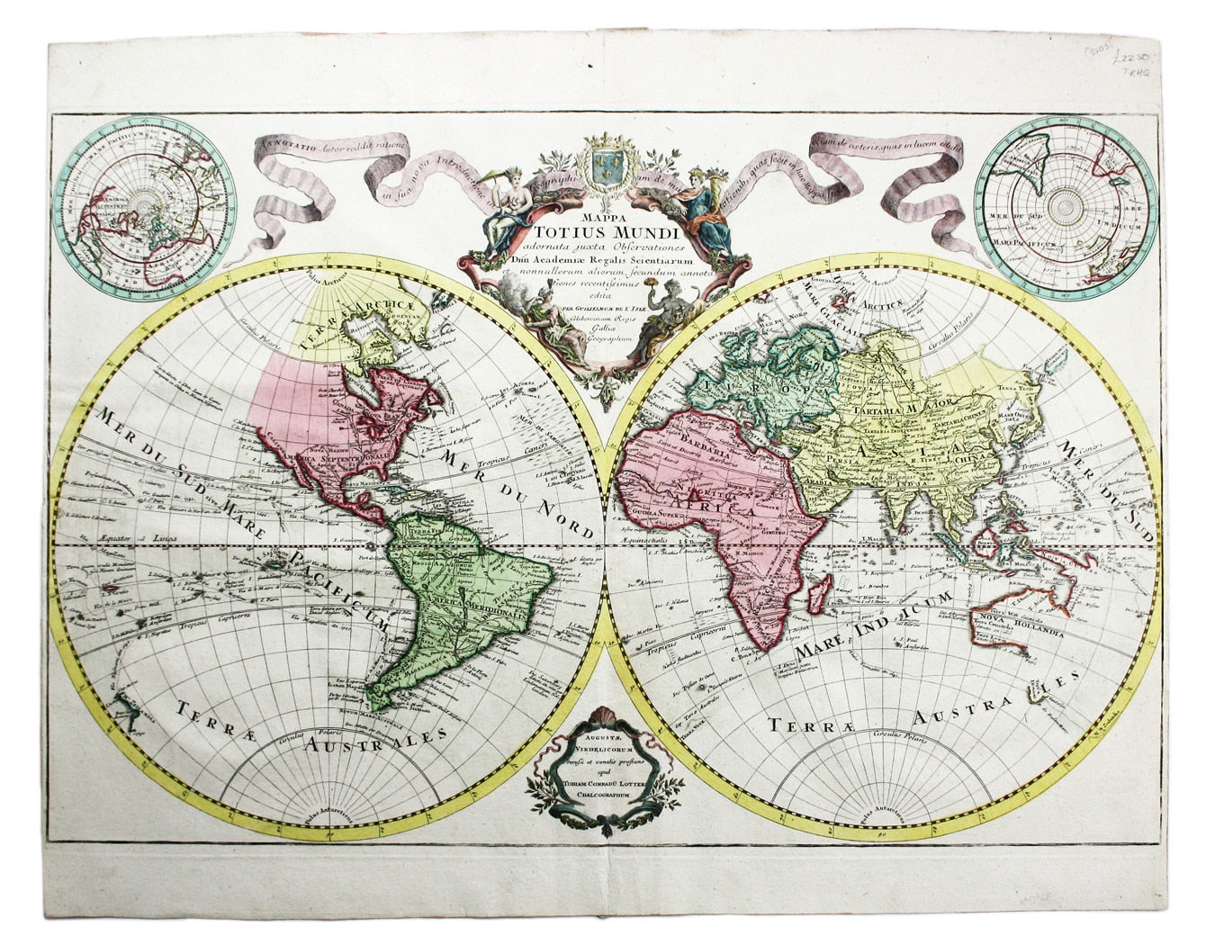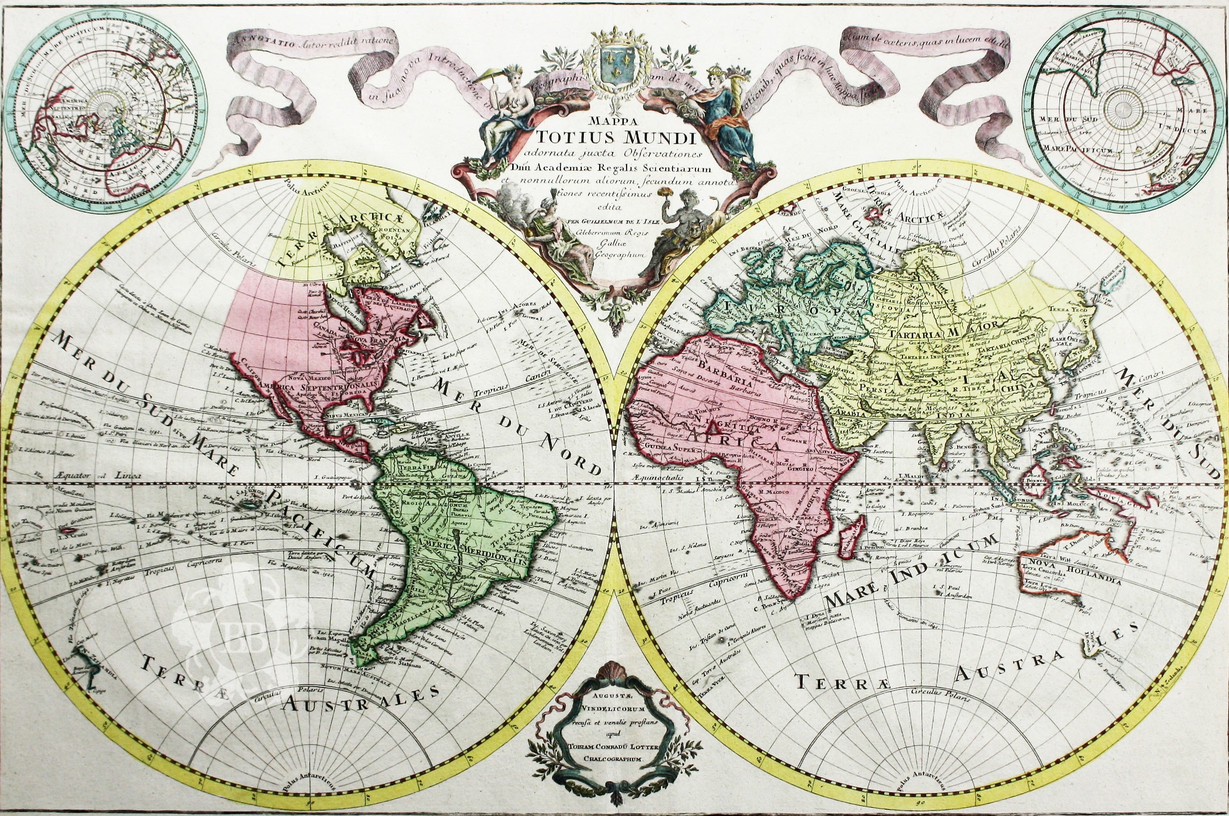
Lotter’s World Map
SKU: 3503
Title:
Lotter’s World Map
Date of publication:
Printed Measurement:
Colour:
Mapmaker:
Mappa Totius Mundi adornata juxta Observationes dnn. Academiae Regalis Scientiarum et nonnullorum aliorum secundum annotationes recentissimas edita per Guillelmum de l’Isle
Lotter’s world map, after Guillaume de l’Isle, reflects the typical extent of mid-eighteenth century European knowledge, with various incomplete and conjectural coastlines, notably the west coast of north America and the eastern coasts of New Zealand and Australia, the latter linked speculatively to New Guinea. Read more
Tracks of various major navigators are shown, including Magellan, Tasman and Dampier. Tobias Conrad Lotter inherited half of the business established by his father-in-law, Matthäus Seutter; in 1758 he established his own firm, taking his share of the copper printing plates.
Condition & Materials
Copper engraving, 43.5 x 63.5 cm, original hand colour with later additions to the cartouche, left and right hand margins cut close (but still 0.5 cm remaining), blank verso. Read less


