

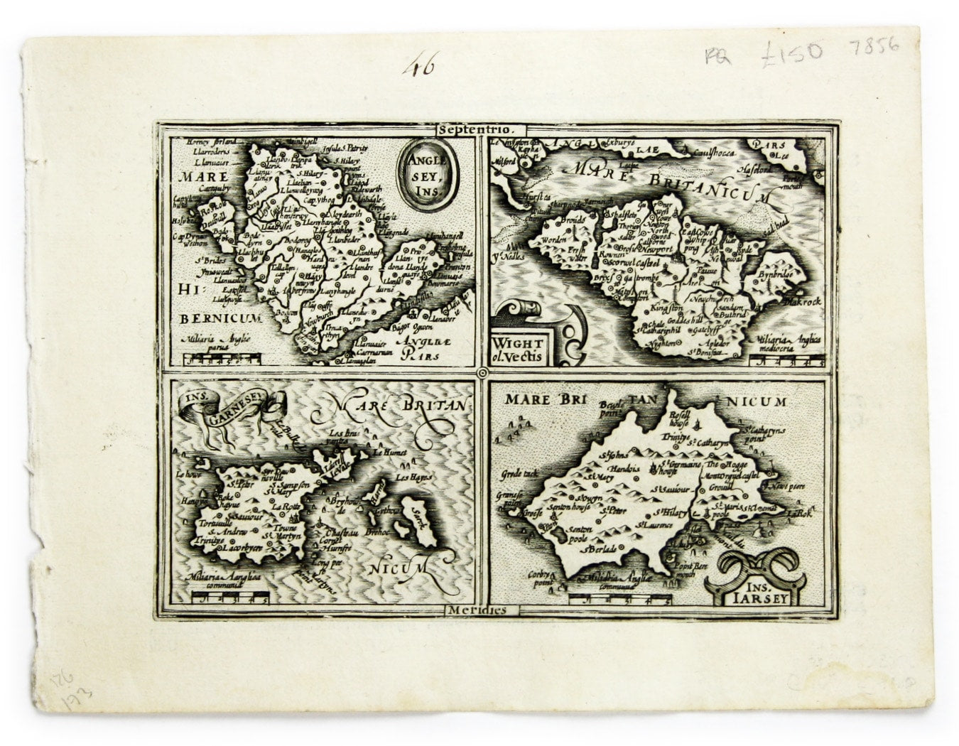
Mercator’s Miniature Map of British Islands
SKU: 7856
Title:
Mercator’s Miniature Map of British Islands
Date of publication:
Printed Measurement:
Colour:
Mapmaker:
Engraver:
Anglesey Ins[ula]; Wight ol[im] Vectis; Ins[ula] Garnsey; Ins[ula] Iarsay
This map of Anglesey, the Isle of Wight, Guernsey and Jersey was engraved by Jodocus Hondius for the Atlas Minor. Read more
Condition & Materials
Copper engraving, 13.7 x 18.2 cm, black and white, numbered in an early hand in upper margin, Latin text on verso.
References
Koeman Me 186. Read less