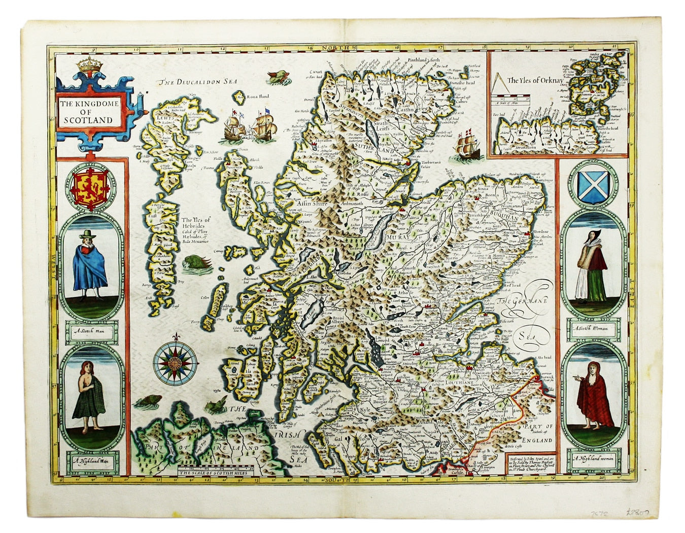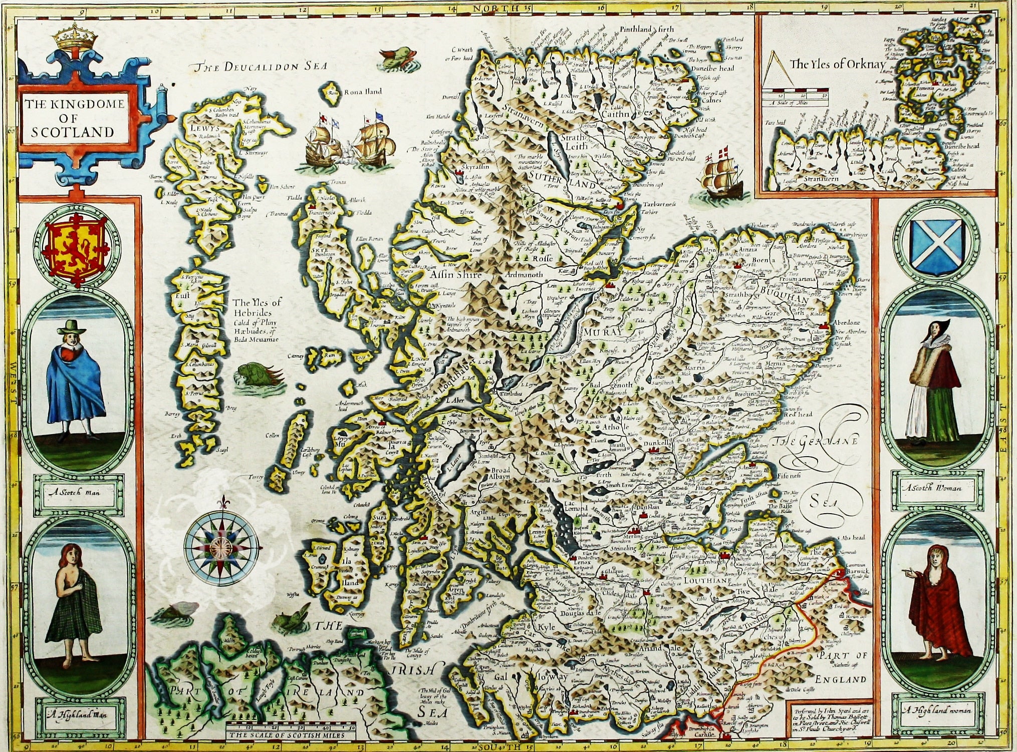
Speed’s Map of Scotland
SKU: 7572
Title:
Speed’s Map of Scotland
Date of publication:
Printed Measurement:
Colour:
Mapmaker:
Cartographically Speed follows Mercator, but his is one of the most distinctive and decorative early maps of Scotland.
The portraits in the borders originally represented James VI and I and his family, including a young Prince Charles. The royal family was burnished from the copper plate during the Interregnum and replaced with the ‘commoners’ seen here: a ‘Scotch’ man and woman, and a ‘Highland’ man and woman (notable as early depictions of tartan).
Read more
John Speed (1552-1629) is unquestionably the most significant British map-maker of the seventeenth-century. A brief note, from Granger's Bibliographical History of England (1779) contains most of the information we have about Speed's life: "John Speed, who was bred a Tailor, was by the generosity of Sir Fulk Grevil, his patron, set free from a manual employment and enabled to pursue his studies, to which he was strongly inclined by the bent of his genius. The fruits of them were his Theatre of Great Britain, containing an entire set of maps of the counties drawn by himself, his History of Great Britain, richly adorned with seals, coins & medals, from the Cotton collection; and his Genealogies of Scripture, first bound up with the Bible, in 1611 which was the first edition of the present English translation. His maps were very justly esteemed & his History of Great Britain, was, in its kind incomparably more complete, than all the histories of his predecessors put together ..."
The first edition of Speed's "Theatre" was published in 1612. It was the first atlas of the British Isles, and the first attempt made by an Englishman to match the achievements of the great continental publishing houses - although much of the engraving of the copper plates was performed in Amsterdam by Jodocus Hondius.
Speed was an antiquary, and intended that his atlas should be read in conjunction with his history of Britain. He managed to include a great deal of historical detail on his 'modern' county maps and the inset town plans, some surveyed by himself, together comprise the first collection of town plans of the British Isles, all in all making the Theatre a highly decorative as well as a useful volume. It was a great success and there were editions printed throughout the seventeenth-century.
Condition & Materials
Copper engraving, 38.5 x 51.5 cm, recent hand-colour, light crease in the lower right hand corner, but generally a very good example; English text on verso. Read less


