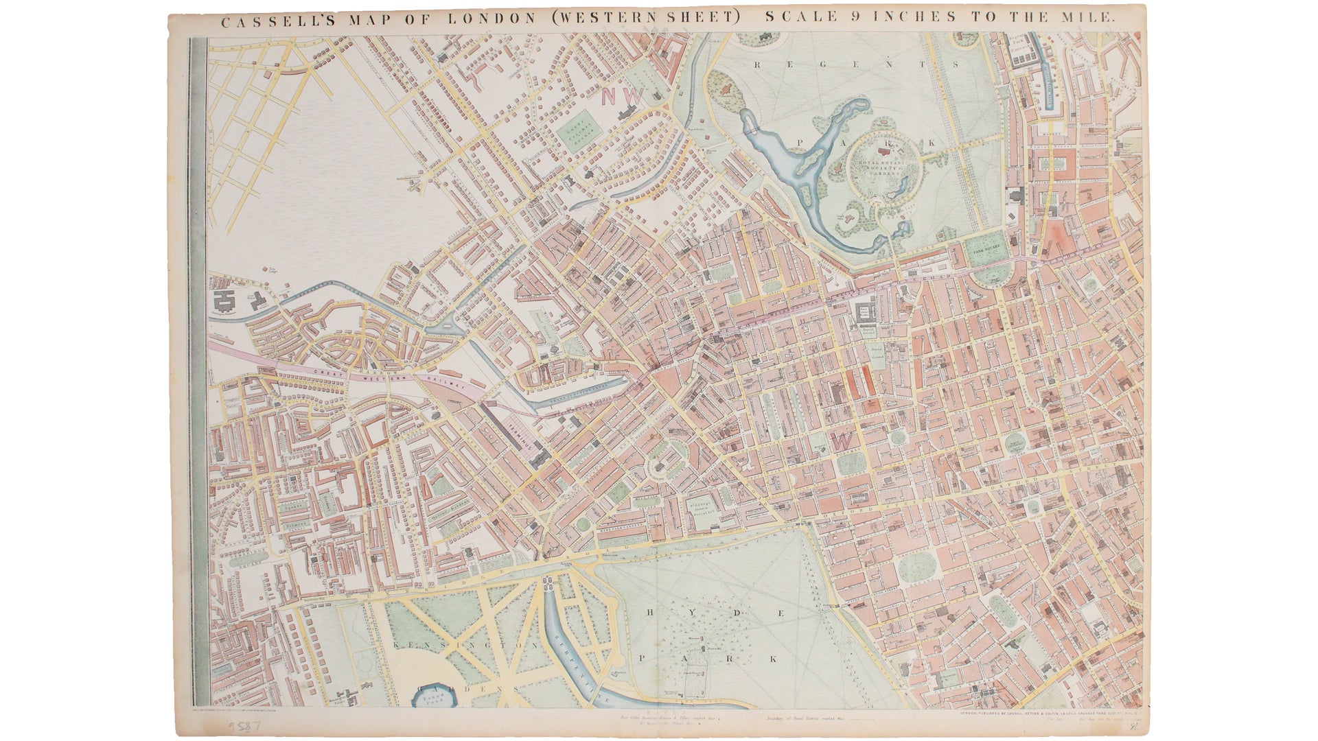
Western Sheet of Cassell’s Map of London
SKU: 9587
Title:
Western Sheet of Cassell’s Map of London
Date of publication:
Printed Measurement:
Publisher:
Colour:
Mapmaker:
Cassell's 'immense map' of London was prepared for the Weekly Dispatch and published in nine parts between January 1861 and April 1862. This example with the Cassell imprint probably appeared with Cassell’s illustrated family paper the following year. It reappeared in varying forms thereafter: the plates were later used for Bacon's Library Map of London and Suburbs and as a base-map for other G.W. Bacon publications well into the 1870s. The maps are notable for their scale, clarity and detail.
Condition & Materials Read more
Lithograph, sheet size 49 x 65.5 cm, modern hand-colour, closed centrefold split, blank verso. Published in London
References
Hyde, Printed Maps of Victorian London 73 (2) Read less


