£100.00
Tallis' Map of Natal
This map of Natal was engraved by John Rapkin for John Tallis' popular ‘Illustrated Atlas’. It includes vignettes of Port Natal engraved by William...
View full detailsThis map of Natal was engraved by John Rapkin for John Tallis' popular ‘Illustrated Atlas’. It includes vignettes of Port Natal engraved by William...
View full detailsThis map of South Africa was published by The Times during the Second Anglo-Boer War, for the benefit of members of the British public following th...
View full detailsThis British chart of Durban port was engraved by John and Charles Walker. It shows soundings etc, interior detail of relief and settlements includ...
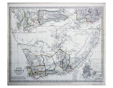
View full detailsThis map of South Africa, including an inset of Cape Town, was engraved by John & Charles Walker. It was published by the SDUK. The Society for...
View full details