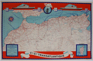
Compagnie Générale Transatlantique North Africa Route Map
This steamship route map of the western Mediterranean and Northwest Africa shows the routes from Marseille and Bordeaux to Tunisia, Algeria and Mor...
View full detailsThis steamship route map of the western Mediterranean and Northwest Africa shows the routes from Marseille and Bordeaux to Tunisia, Algeria and Mor...
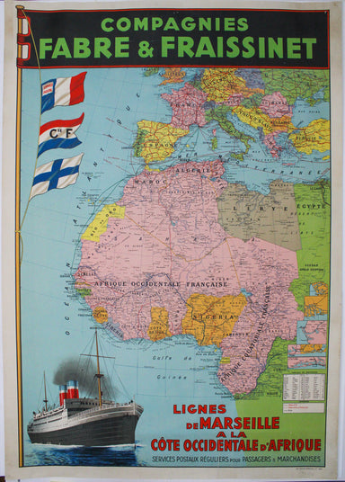
View full detailsThis route map advertises passenger, postal and cargo steamship services between Marseille and West Africa. The SS Canada was built for the Fabre L...
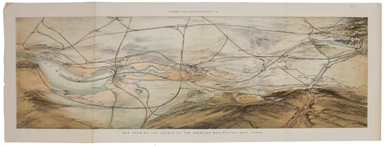
View full detailsThis plan of the Manchester Shipping Canal was published as a supplement to ‘The Illustrated London News’, February 3rd 1883. Construction began in...
View full detailsRiver Thames Wharf Chart, Sheet 3, showing tiers, moorings, etc. between Barking Creek & Hole Haven. Condition & Materials Folding map, 75...
View full detailsThis bird’s-eye view of the Suez Canal was published as a ‘Special Supplement’ of The Graphic (a weekly illustrated newspaper), issued on 2 Septemb...
View full detailsCondition & Materials Steel engraving, 28.5 x 45 cm, black and white, slight spotting; plan of the East India Dock from ‘Public Works of Great ...
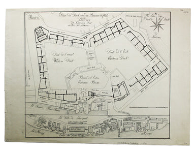
View full detailsPlan du Dock ou du Bassin ‡ flot ‡ Londres dit Katarinen Dock ou Dock St. Katharine. Condition & Materials Lithograph, 35 x 40.5 cm, black and ...
View full details