

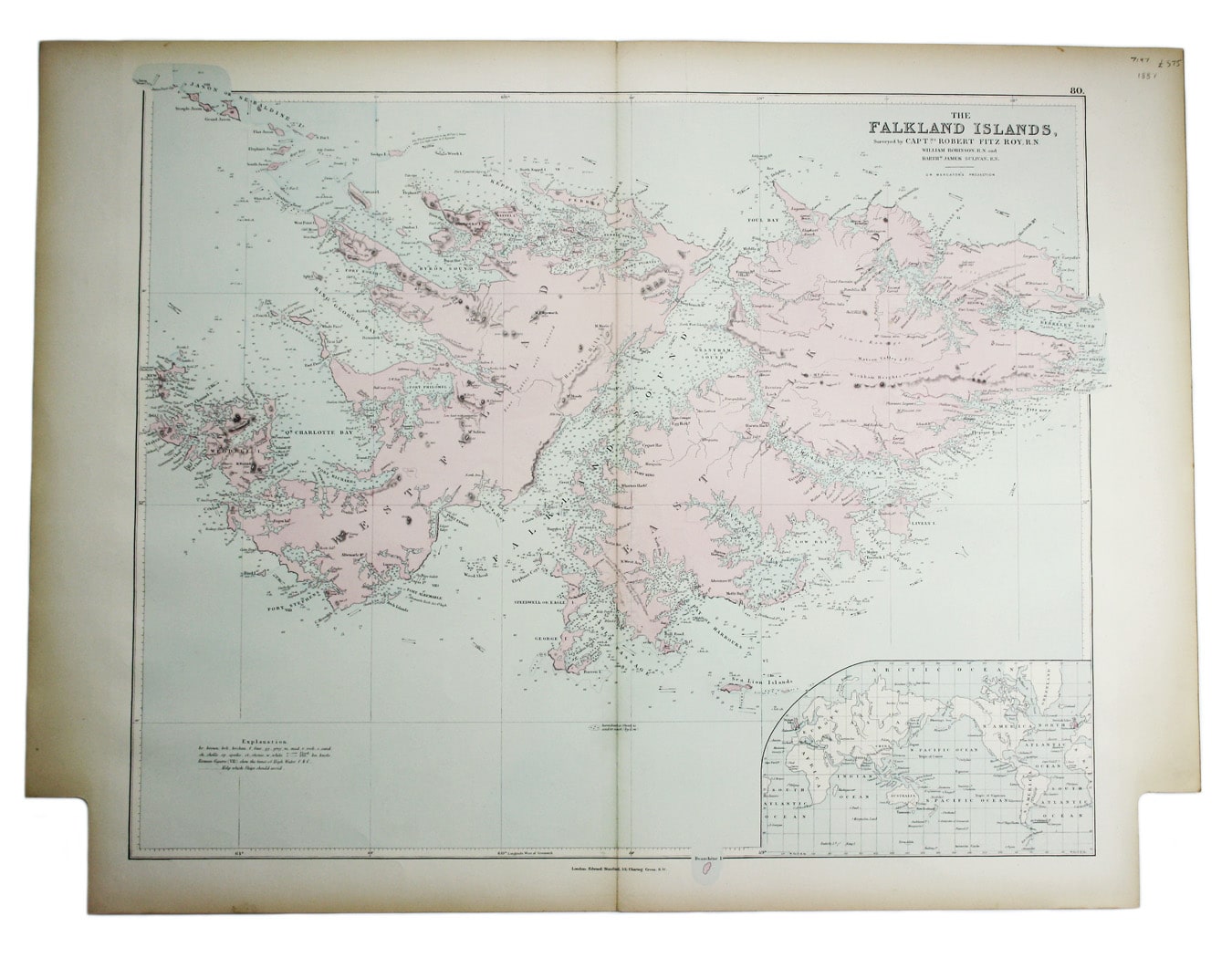
Stanford’s Map of the Falklands
SKU: 7197
Title:
Stanford’s Map of the Falklands
Date of publication:
Printed Measurement:
Colour:
Mapmaker:
The Falkland Islands, surveyed by Captains Robert Fitz Roy R.N., William Robinson R.N. and Bartholomew James Sulivan R.N.
This map of the Falklands is from the first trade edition of Stanford’s London Atlas. Read more
Edward Stanford (senior) acquired Arrowmsith's stock in 1874. His own version of the London Atlas, published in Jubilee year and dedicated to Queen Victoria, is considered to be his last significant work before his retirement.
Later editions were revised in keeping with the latest information. The foundation map, FitzRoy’s detailed survey, was undertaken in 1833 on FitzRoy’s celebrated second voyage in HMS Beagle - when he was accompanied by Charles Darwin.
Condition & Materials
Lithograph, 50 x 63 cm, original colour, blank verso. Read less