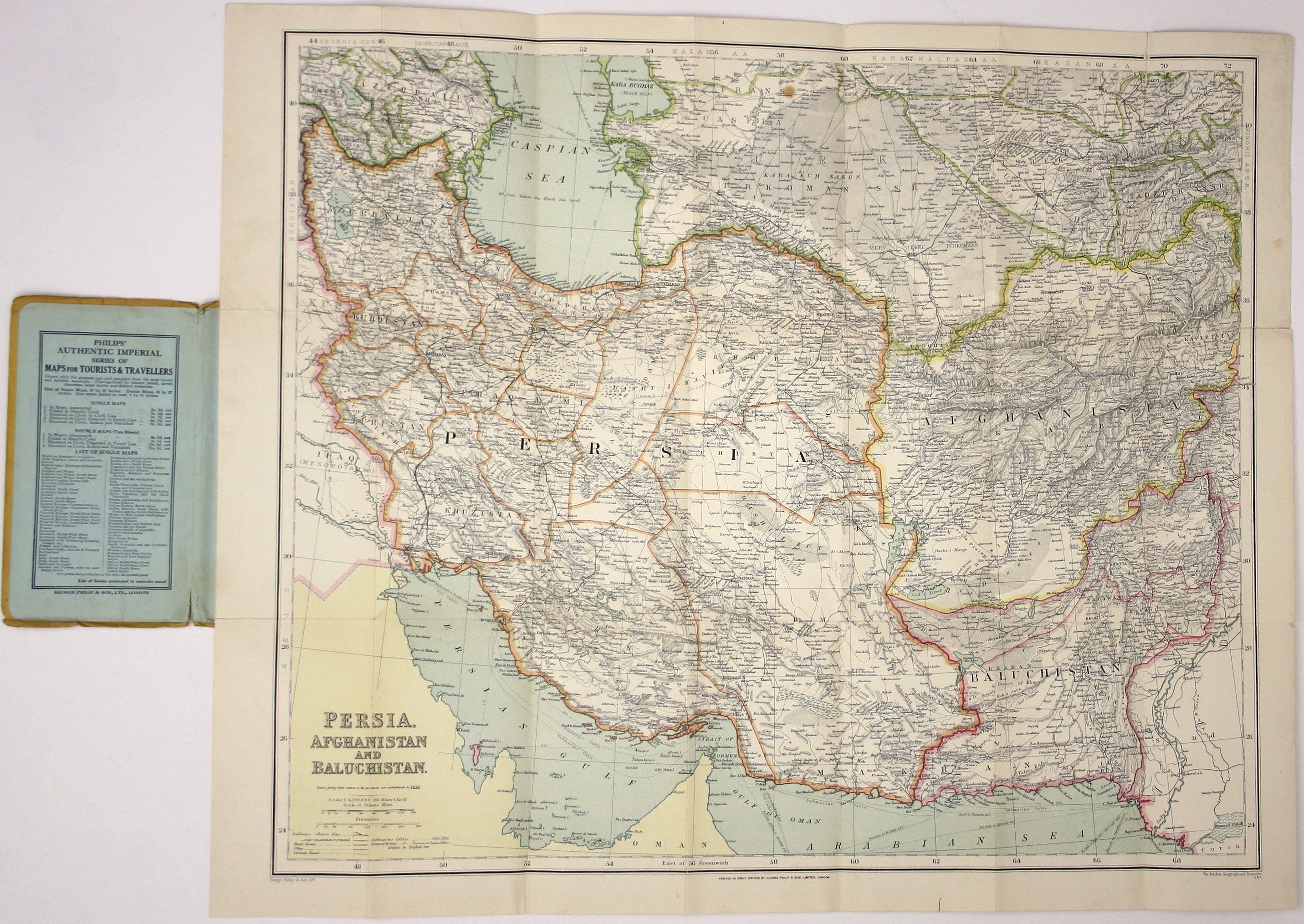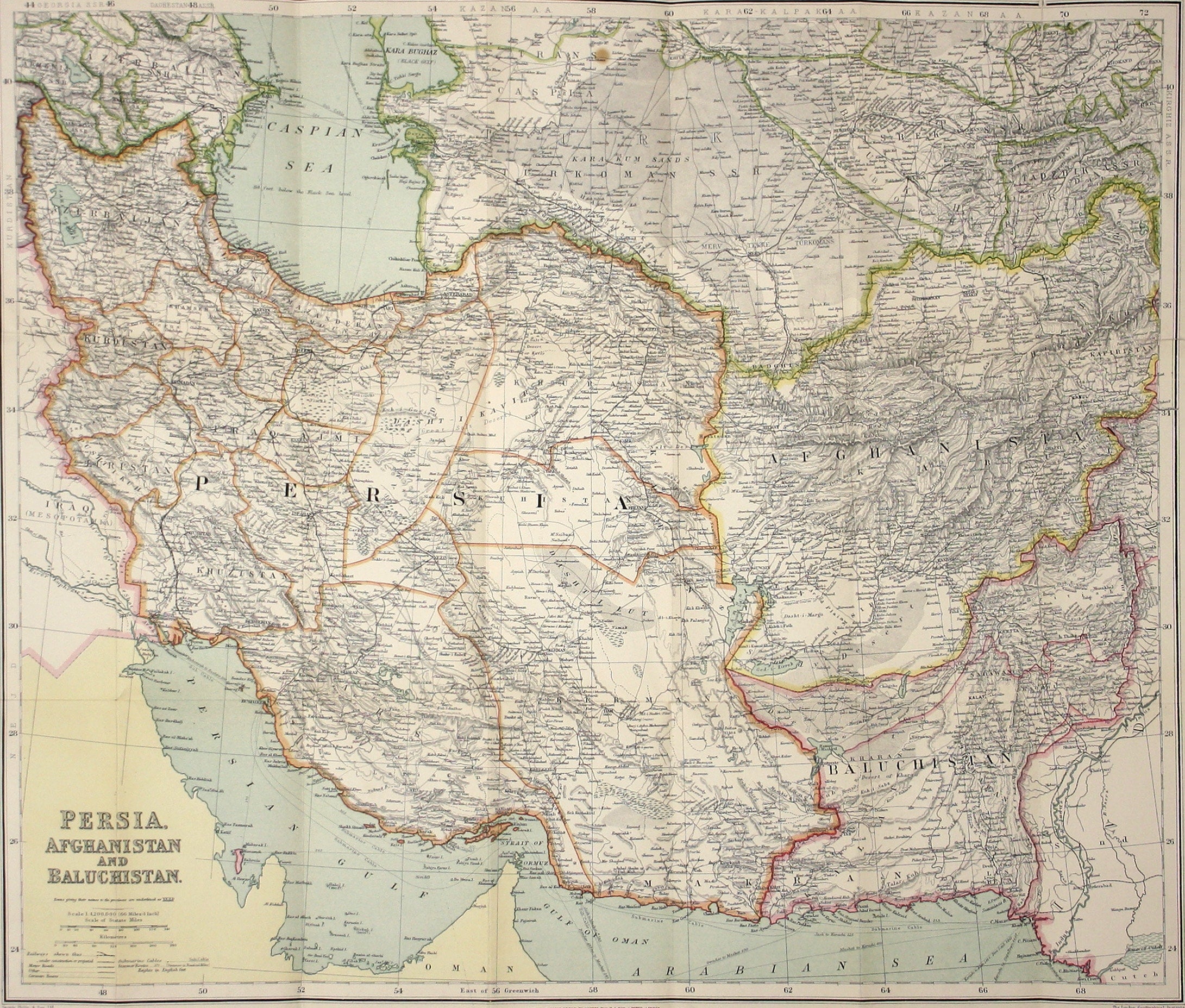
Philips’ Map of Persia, Afghanistan & Balochistan
SKU: 9228
Title:
Philips’ Map of Persia, Afghanistan & Balochistan
Date of publication:
Printed Measurement:
Colour:
Mapmaker:
This map of Persia, Afghanistan and Balochistan is part of the Authentic Imperial Maps series published by the London Geographical Institute.
Condition & Materials Read more
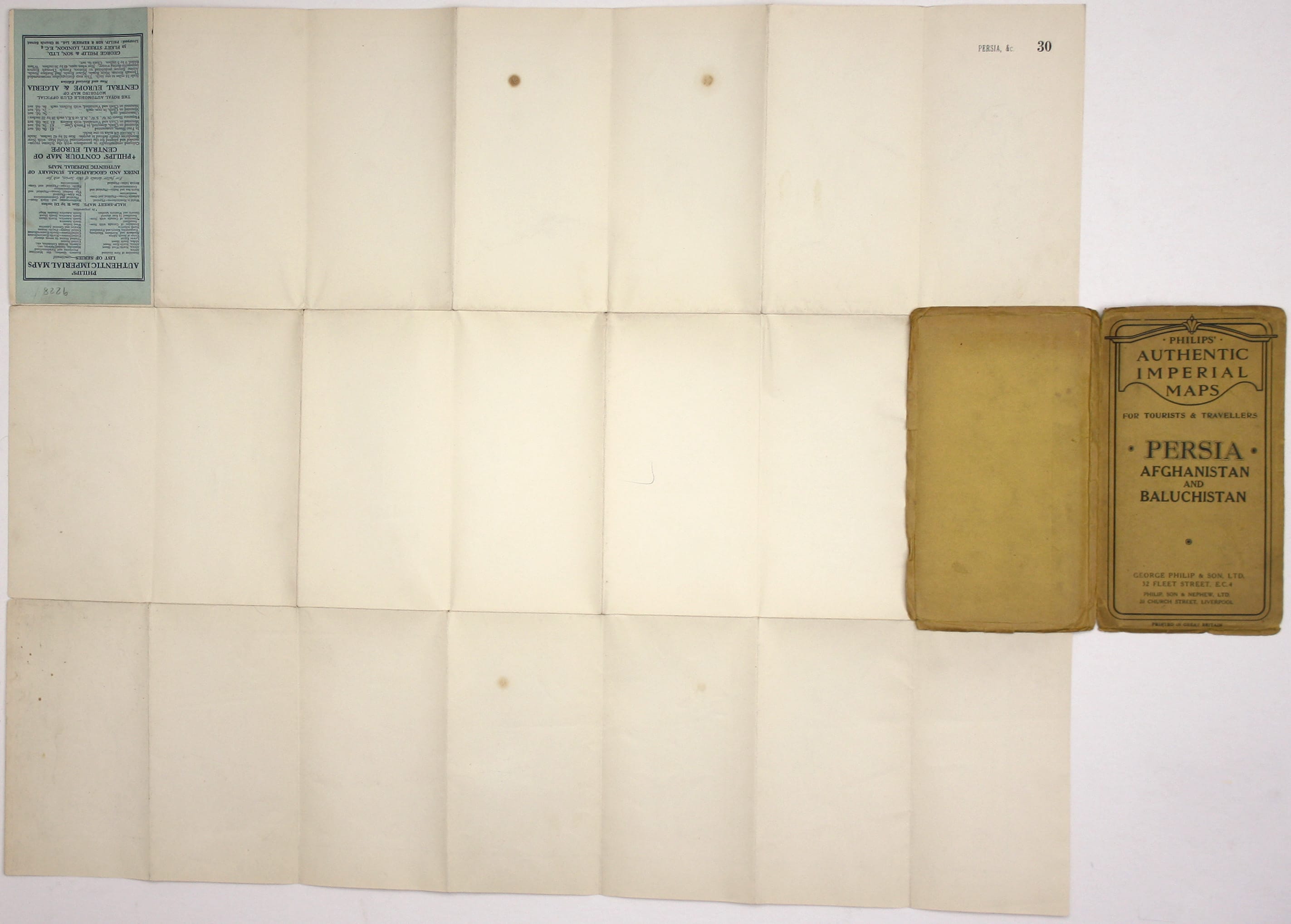
Folding lithographed map, sheet size 54 x 65.5 cm, printed in colours, blank verso, small stain by the ‘s’ of ‘Trans Caspia’, a couple of short splits along the folds, folding into yellow stiff card wrappers; with publisher’s advertisements to pastedown. Read less


