

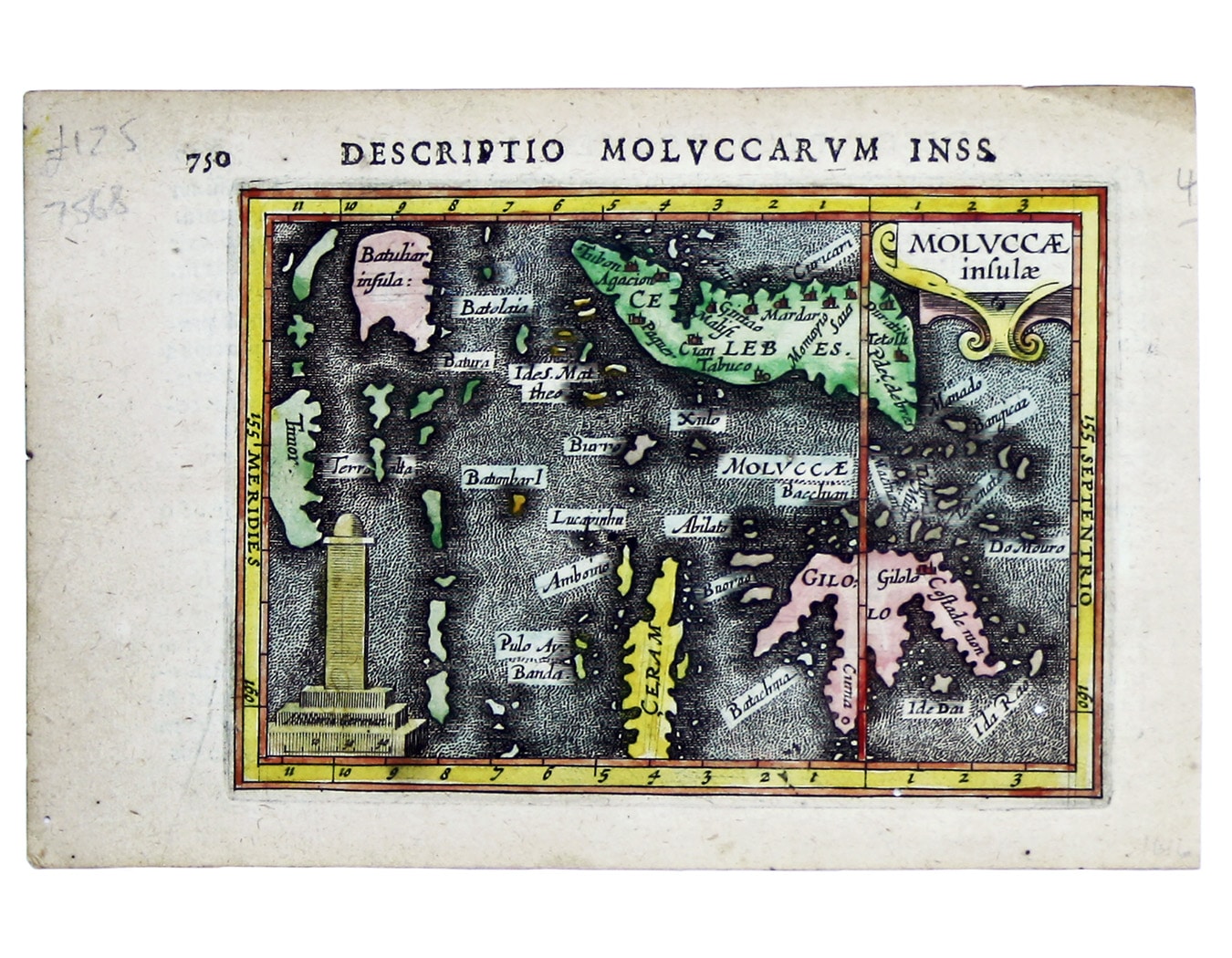
Bertius' Miniature Map of the Maluku Islands
SKU: 7568
Title:
Bertius' Miniature Map of the Maluku Islands
Date of publication:
Printed Measurement:
Colour:
Mapmaker:
Engraver:
This is a map of the Maluku Islands, part of the mountainous, volcanic archipelago known to Europeans as the spice islands. The islands were the focus of Portuguese, Spanish, Dutch and English attempts to control the lucrative spice trade.
This map is from the first edition of Tabularum geographicarum contractarum libri, a geographical work which is normally catalogued under the name of its author, Bertius. Read more
The maps are generally reduced from the cartography in the folio Mercator-Hondius atlas, and were mostly engraved by Jodocus Hondius, eldest son of the printer, who also bears the same name. Geoffrey King calls them "undoubtedly the finest set of miniature maps ever printed.".
Condition & Materials
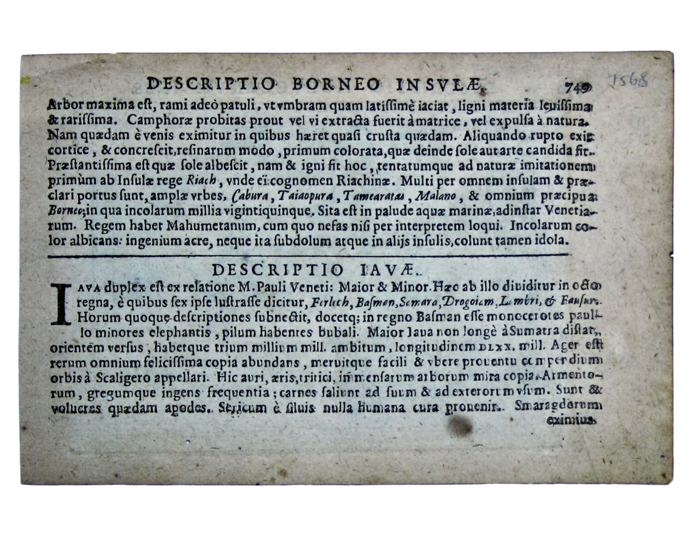
Copper engraving, 9.6 x 13.6 cm, recent hand-colour, a couple of wormholes bottom right, Latin text on verso.
References
King, Miniature Antique Maps p. 96
Koeman Lan 11A Read less