£500.00
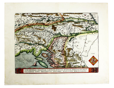
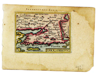
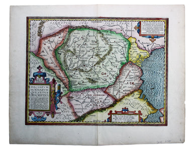
Ortelius' Western Balkans
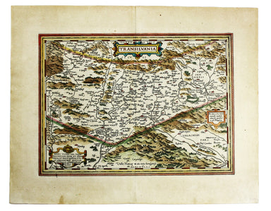
Schlavoniae, Croatiae, Carniae, Istriae, Bosniae, Finitimarumque Regionum Nova Descriptio Ortelius’ map of the western Balkans drew on the cartogra...
View full details