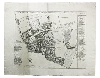
Blome’s Ward Plan of St Giles Cripplegate
John Stow's A Survey of the Cities of London and Westminster was originally published in 1598 and 1603, but revised and expanded works under his na...
View full details

John Stow's A Survey of the Cities of London and Westminster was originally published in 1598 and 1603, but revised and expanded works under his na...
View full details
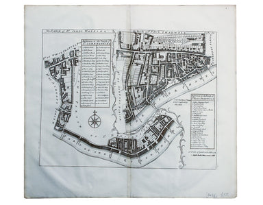
The Parish of St Johns Wapping; The Parish of St. Paul Shadwell This detailed ward plan of Wapping and Shadwell includes Execution Dock, where sent...
View full details
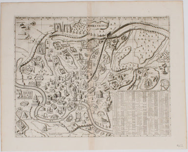
Plan Des Antiquitez De Rome, Représentées Et Distinguées Suivant La Situation De Chacun De Ses Anciens Monuments / Roma Vetus This map of Rome is a...
View full details
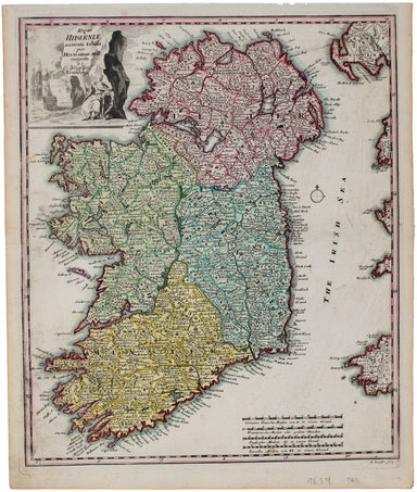
Regni Hiberniae accurata tabula Christoph Weigel's map of Ireland was engraved by Michael Kauffer after Herman Moll and published in Samuel Faber’s...
View full details
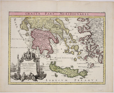
Graeciae Pars Meridionalis / Graciae Antiquae Tabula Nova in qua locorum situs tum ad distantias itinerarias tum ad Observationes Astronomicas exac...
View full details
