

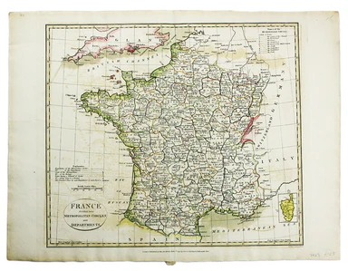
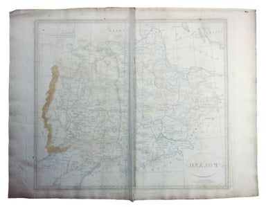
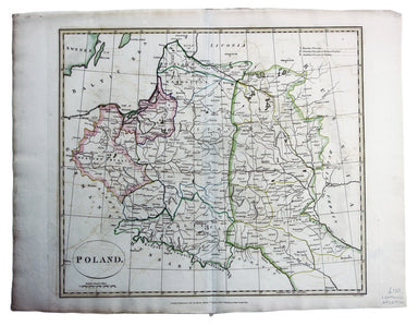
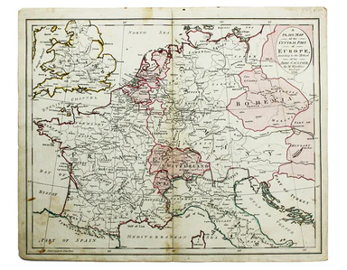
Cruttwell’s Map of France
France divided into Metropolitan Circles and Departments Copper engraving, approx 38 x 42 cm, original hand colour, slight offsetting, blank verso;...
View full detailsFrance divided into Metropolitan Circles and Departments Copper engraving, approx 38 x 42 cm, original hand colour, slight offsetting, blank verso;...
View full detailsPoland Copper engraving, approx. 37 x 42 cm, original hand colour, slight offsetting, blank verso; map of Poland engraved by Samuel John Neele for ...
View full detailsA Plain Map of the Central Part of Europe. According to the Method of the Abbé Gaultier by Mr Wauthier his Pupil. Copper engraving, 36 x 44 cm, or...
View full detailsSheet C1 from Horwood’s ‘Plan of the Cities of London and Westminster…’ Copper engraving, 58 x 53 cm, black and white, short marginal split, blank...
View full detailsSheet C4 from Horwood’s ‘Plan of the Cities of London and Westminster…’ Copper engraving, 58 x 53 cm, black and white, light marginal spotting and...
View full details“To the Right Honourable Anthony, Ashley Cooper, Earl of Shaftesbury; Baron Ashley of Winborne St. Giles; Baron Cooper of Powlett in the County of ...
View full details