£350.00


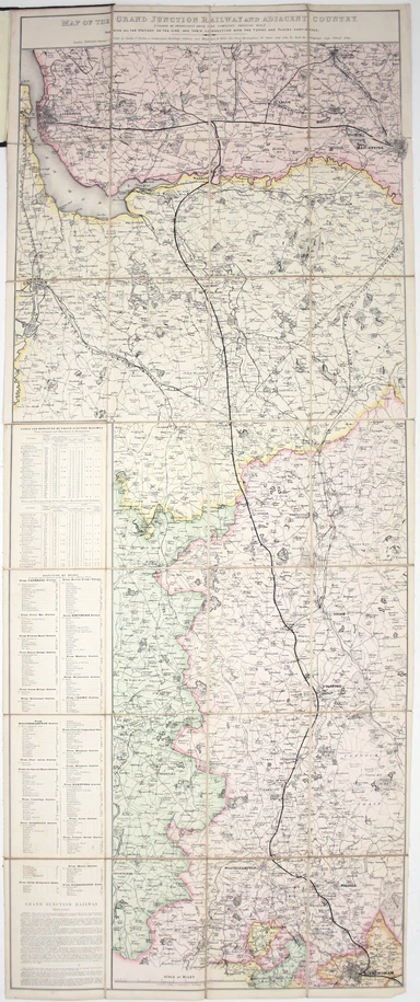
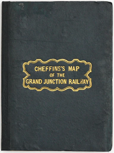
Cheffins’ Grand Junction Railway Map
Map of the Grand Junction Railway and its Adjacent Country. [Copied by permission from the Company’s official map.] Shewing all the the stations on...
View full detailsMap of the Grand Junction Railway and its Adjacent Country. [Copied by permission from the Company’s official map.] Shewing all the the stations on...
View full detailsCopper engraving, 31.5 x 41 cm, original hand colour in outline, right and left hand margins trimmed close to printed area, numbered in and old ha...
View full detailsAh, the queen of the Adriatic… Steel engraving, two sheets joined, 40 x 63 cm, engraved by Benjamin Rees Davies after William Barnard Clarke, trivi...
View full detailsPlan of the East India Docks Steel engraving, 28.5 x 45 cm, black and white, slight spotting; plan of the East India Dock from ‘Public Works of Gre...
View full details