£375.00


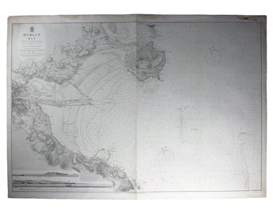
Admiralty Chart of Dublin Bay
Map of Dublin bay with interior detail of relief and settlements (including eastern Dublin), and inset coastal profiles Engraved British chart of D...
View full detailsMap of Dublin bay with interior detail of relief and settlements (including eastern Dublin), and inset coastal profiles Engraved British chart of D...
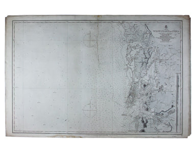
View full detailsSheet III – West Coast of India – from Arnol I. to Kundari I. Engraved British chart, sheet size 69 x 103 cm, black and white, engraved by John and...
View full details