£1,500.00


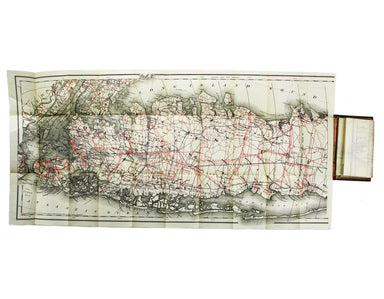
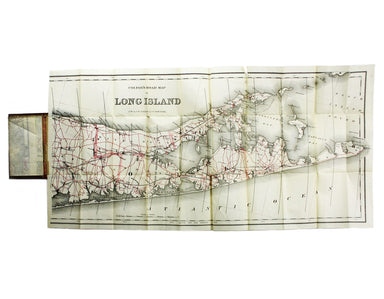
Colton’s Map of Long Island
Colton’s Road Map of Long Island Lithographed in red and black on two sheets, each 38.5 x 80 cm; this map of Long Island is printed on thin india p...
View full detailsColton’s Road Map of Long Island Lithographed in red and black on two sheets, each 38.5 x 80 cm; this map of Long Island is printed on thin india p...
View full detailsLetts’s cycling map [of] fifty miles round London from the Ordnance Survey. Seventh edition, June 1892, tenth thousand. The map and the men who mad...
View full detailsThe “District Railway” Map of London (5th edition) Folding map, 67 x 106 cm, engraved by WE Soar, printed in colours, laid on linen as issued, fold...
View full details