

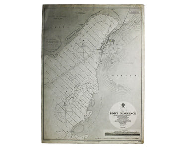
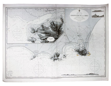
Admiralty Chart of Kisumu
Port Florence [Kisumu, Kenya] Engraved chart, 66 x 48.5 cm, black and white, first published in 1902 with corrections to 1909, crease and ink stamp...
View full detailsPort Florence [Kisumu, Kenya] Engraved chart, 66 x 48.5 cm, black and white, first published in 1902 with corrections to 1909, crease and ink stamp...
View full detailsTri-fold passenger map, 11 x 15 cm, printed in colours on linen backed card, edge wear, light staining to right hand panel affecting Finsbury Park...
View full detailsMap of the Great Western Railway and Connections The map This map illustrates how the Great Western Railway connected resources such as coal fields...
View full detailsBismark Archipel – Neu Hannover Imperial German Naval Office chart, sheet size 67 x 91 cm, engraved by F. Müllhaupt, black and white, centrefold, d...
View full detailsIndsicher Ozean – Golf von Aden – Ansteuerung von Aden Imperial German Naval Office chart of Aden, 67 x 91 cm, engraved by F. Müllhaupt, black and ...
View full detailsLondon Underground Railways [guidebook issue, tipped into Cook’s Handbook for London] Green-bordered 'common design' Underground map, tipped into C...
View full details