
Admiralty Chart of the Approach to Rangoon
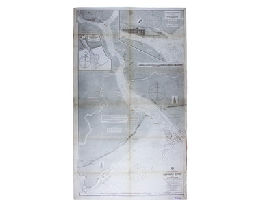
Burma – Gulf of Mataban – Rangoon River and Approaches Engraved chart of the approach to Rangoon, 95 x 66 cm, engraved by Davies and Company, black...
View full detailsBurma – Gulf of Mataban – Rangoon River and Approaches Engraved chart of the approach to Rangoon, 95 x 66 cm, engraved by Davies and Company, black...
View full detailsLondon’s Underground/What to see and how to travel: Map of the Electric Railways of London March 1922 geographical passenger map of the Underground...
View full detailsLate Theatre Services by Tramway Lithographed transport poster, 72 x 36 cm, black and white, laid on archival paper and linen. The image is of an e...
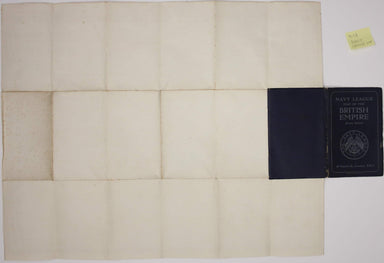
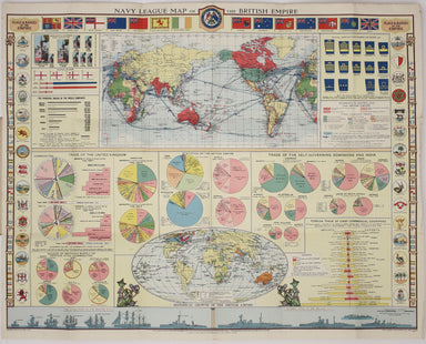
View full detailsIn the Navy… Folding map of the British Empire, 50 x 63.5 cm, printed in colours, laid on linen and folding into stiff card covers, which are a lit...
View full details