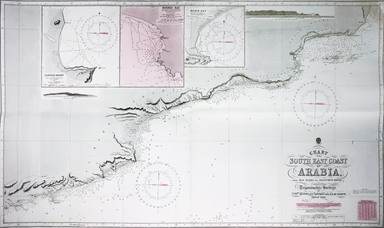
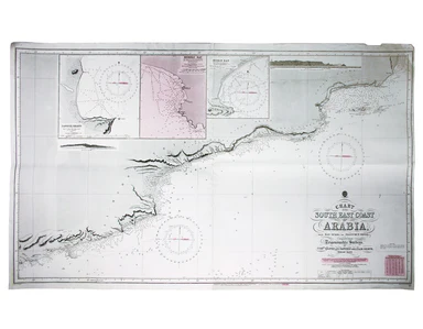
Admiralty Chart of Oman
Chart of the South East Coast of Arabia from Ras Sukra to Palinurus Shoal, compiled from trigonometric Surveys First published in 1860 with correct...
View full details

Chart of the South East Coast of Arabia from Ras Sukra to Palinurus Shoal, compiled from trigonometric Surveys First published in 1860 with correct...
View full details
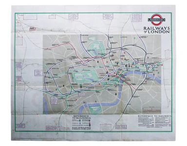
Underground Railways of London/What to see and how to travel: Map of the Electric Railways of London The continuation of lines in the margins is no...
View full details
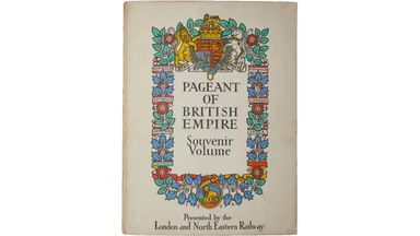
Pageant of British Empire, Souvenir Volume. With an introductory note by His Royal Highness The Prince of Wales; an anthology of British Empire by ...
View full details

Hill's Los Angeles City Map and Tourist Guide This detailed city plan of Los Angeles is bordered by an extensive street index. A legend identifies ...
View full details

The British Empire Exhibition was, at the time, the largest exhibition staged anywhere in the world; a high profile, postwar statement of confidenc...
View full details
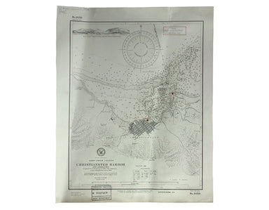
West Indies – St Croix Island – Christiansted Harbour This is a US naval chart of Christiansted, the largest town on St Croix in the United States ...
View full details
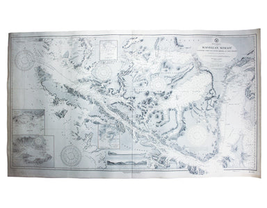
South America – Magellan Strait – Western part from Punta Arenas to Cape Pillar This US naval chart of the Magellan Strait shows soundings, anchora...
View full details
