£150.00
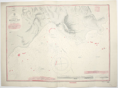
Admiralty Chart of Rockly Bay, Tobago
West Indies – Tobago – Scarborough – Rockly Bay This chart of Rockly Bay shows soundings etc, with interior detail of relief, roads and settlements...
View full detailsWest Indies – Tobago – Scarborough – Rockly Bay This chart of Rockly Bay shows soundings etc, with interior detail of relief, roads and settlements...
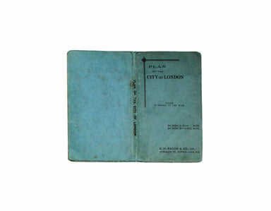
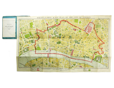
View full detailsBacon’s large scale plan of the City of London Condition & Materials Folding map, 42.5 x 71 cm, printed in colours, laid on linen as issued, a ...
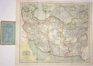
View full detailsThis map of Persia, Afghanistan and Balochistan is part of the Authentic Imperial Maps series published by the London Geographical Institute. Condi...
View full details