

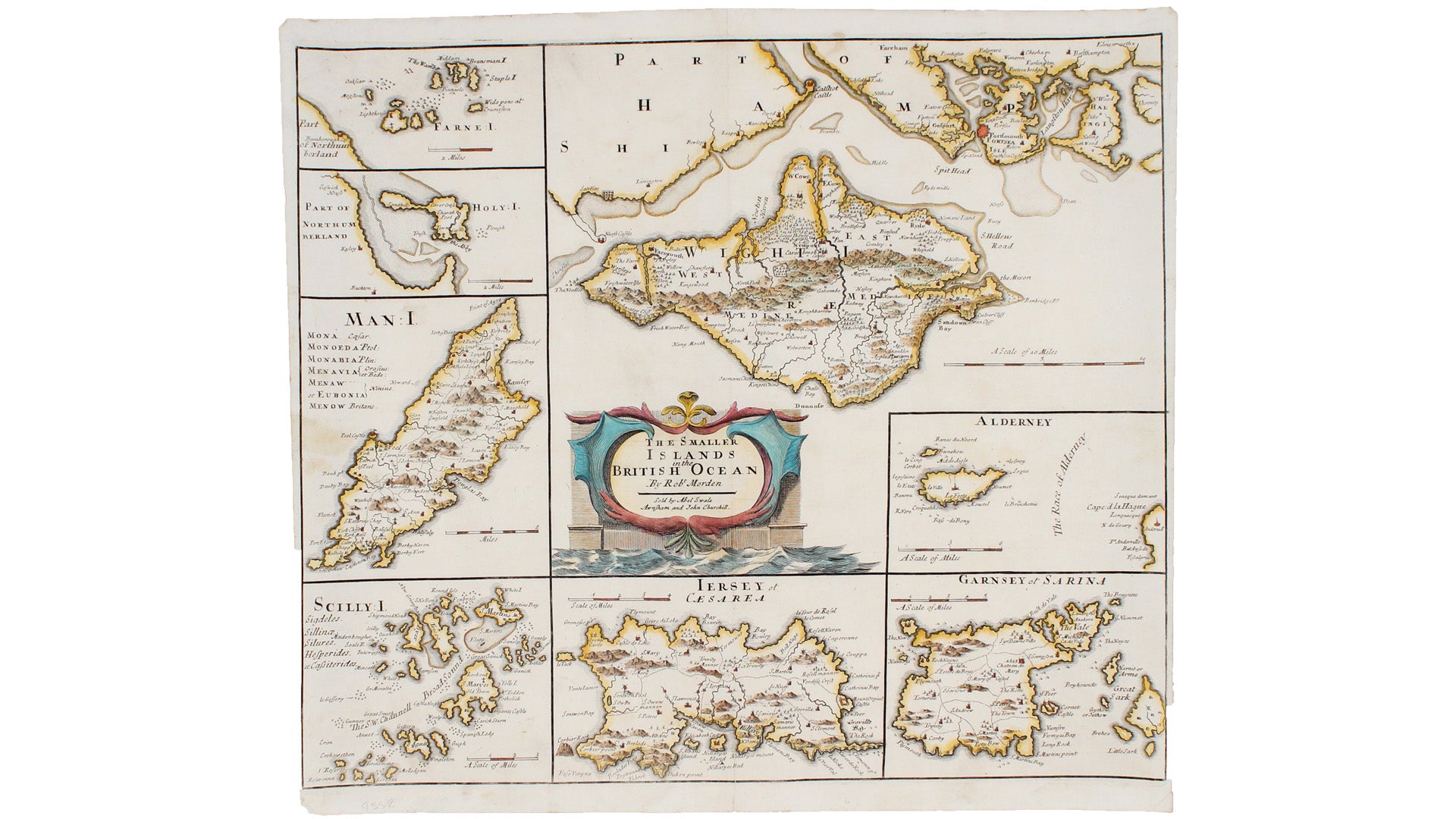
Morden's Map of British Islands
SKU: 9552
Title:
Morden's Map of British Islands
Date of publication:
Printed Measurement:
Colour:
Mapmaker:
Robert Morden's maps were engraved to illustrate Gibson's edition of William Camden's Britannia, first published in 1695 and reprinted in 1722 and 1753.
Camden was an Elizabethan historian who wrote a county by county description of England. An illustrated edition of his work with maps by Kip and Hole was published in 1607, but by the late seventeenth century it had become scarce and expensive. Gibson completely revised the text and commissioned new maps from Morden, which are known for their clarity and elegance. Read more
The latest research on Morden himself suggests a north country origin, possibly Yorkshire. He was part of Robert Hooke's circle, taking coffee with him at Garraway's and Mann's, and he counted Samuel Pepys among his customers.
Condition & Materials
Copper engraving, 36 x 42 cm, modern hand-colour, slightly narrow margins, blank verso. Published in London. Read less