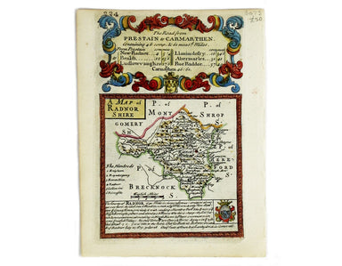
Bowen & Owen Map of Radnorshire
This map of Radnorshire was engraved by Emanuel Bowen for John Owen’s “Britannia Depicta”, a pocket road book derived from Ogilby’s innovative atla...
View full details
This map of Radnorshire was engraved by Emanuel Bowen for John Owen’s “Britannia Depicta”, a pocket road book derived from Ogilby’s innovative atla...
View full details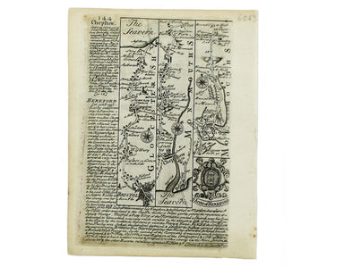
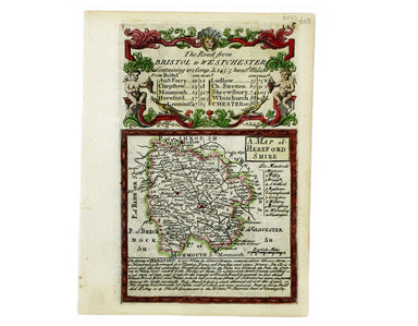
This map of Herefordshire was engraved by Emanuel Bowen for John Owen’s Britannia Depicta, a pocket road book derived from Ogilby’s innovative atla...
View full details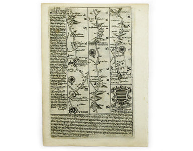
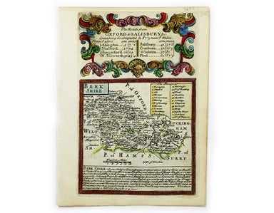
This map of Berskhire was engraved by Emanuel Bowen for John Owen’s Britannia Depicta, a pocket road book derived from Ogilby’s innovative atlas of...
View full details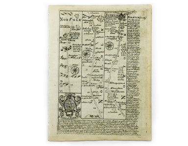
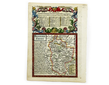
This map of Bedforshire was engraved by Emanuel Bowen for John Owen’s Britannia Depicta, a pocket road book derived from Ogilby’s innovative atlas ...
View full details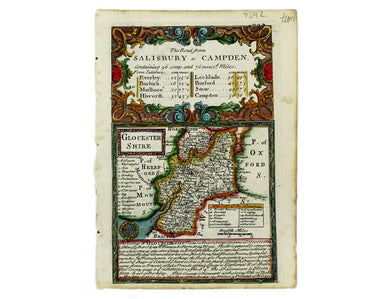
This map of Gloucestershire was engraved by Emanuel Bowen for John Owen’s Britannia Depicta, a pocket road book derived from Ogilby’s innovative at...
View full details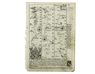
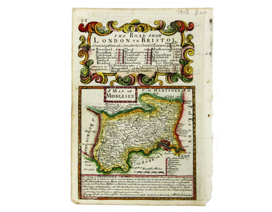
This map of Middlesex was engraved by Emanuel Bowen for John Owen’s Britannia Depicta, a pocket road book derived from Ogilby’s innovative atlas of...
View full details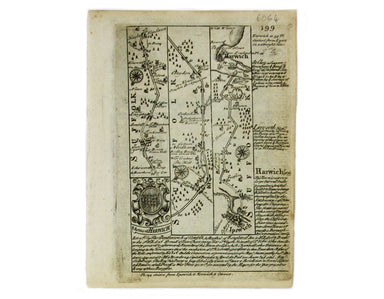
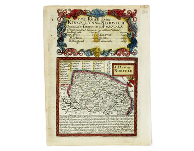
This map of Norfolk was engraved by Emanuel Bowen for John Owen’s Britannia Depicta, a pocket road book derived from Ogilby’s innovative atlas of ...
View full details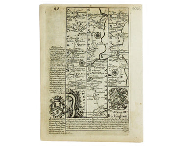
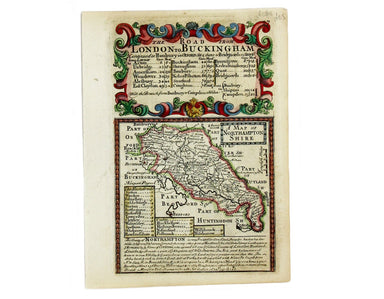
This map of Northamptonshire was engraved by Emanuel Bowen for John Owen’s Britannia Depicta, a pocket road book derived from Ogilby’s innovative a...
View full details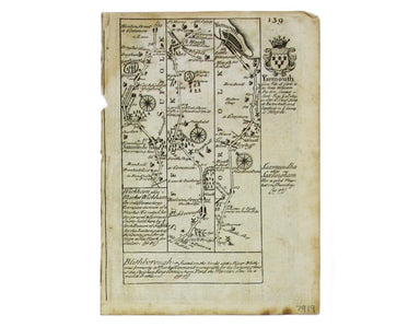
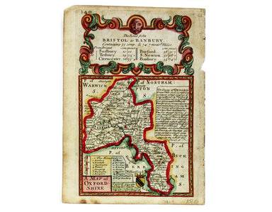
This map of Oxfordshire was engraved by Emanuel Bowen for John Owen’s Britannia Depicta, a pocket road book derived from Ogilby’s innovative atlas ...
View full details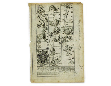
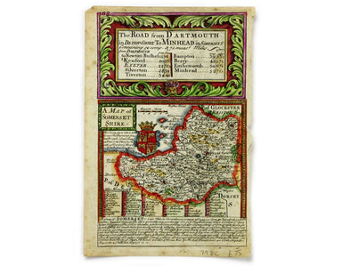
This map of Somerset was engraved by Emanuel Bowen for John Owen’s Britannia Depicta, a pocket road book derived from Ogilby’s innovative atlas of ...
View full details
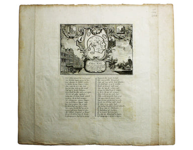
Afbeeldinge van’t zeer vermaarde Eiland Geks-Kop This Dutch ‘fool’s cap’ map satirises the bursting of the financial bubbles of 1720. Cartographic ...
View full details
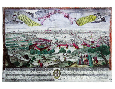
This is a view showing London before the Great Fire, from the South Bank of the Thames, including London Bridge and old St Paul’s. Principal buildi...
View full details
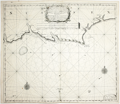
A new gradually encreasing Compass-Map of part of the Sea Coasts of England, in which is contained the Coasts of Sussex, extending from Eastwards o...
View full details
