

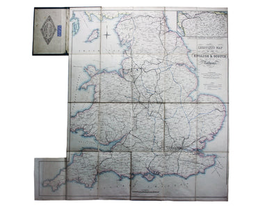
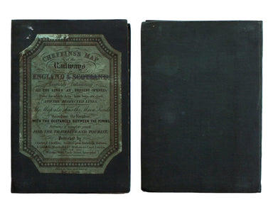
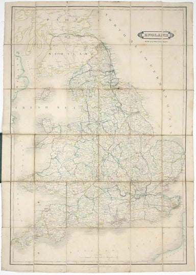
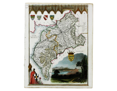
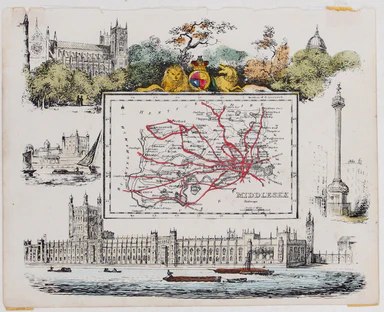
Cheffin’s Map of the Railways in England & Scotland
Cheffins’s Map of the English & Scotch Railways – Cheffins’s Map of the Railways in England & Scotland, accurately delineating all the line...
View full detailsCheffins’s Map of the English & Scotch Railways – Cheffins’s Map of the Railways in England & Scotland, accurately delineating all the line...
View full detailsEngland, with all the railways…’ This edition of Lizars’ railway map was published c. 1845, featuring lines such as the Maryport & Carlisle Rai...
View full detailsThomas Moule was a bookseller, writer on heraldry and publisher who commissioned what is generally considered to be the last really decorative seri...
View full detailsCumberland Steel engraving, 19.5 x 26 cm, modern hand-colour, short tear closed without loss, blank verso. A map of Cumberland by Moule, a booksell...
View full detailsMap of the Kingdom of Denmark Copper engraving, 73.5 x 53 cm, original hand colour, blank verso; map of Denmark from Wyld's New General Atlas. Jame...
View full detailsLower Egypt and the Adjacent Deserts with a part of Palestine; to which has been added the Nomenclature of the Roman Age… Copper engraving, 56 x 78...
View full detailsMap of the Netherlands including the Grand Duchy of Luxembourg. With the post roads and stations and the limites of Holland and Belgium. Copper eng...
View full details