

Langenes' Miniature Map of the Maluku Islands
Moluccae Insulae This map shows the Maluku Islands (or Moluccas), part of the volcanic Indonesian archipelago known to contemporary Europeans as th...
View full details

Moluccae Insulae This map shows the Maluku Islands (or Moluccas), part of the volcanic Indonesian archipelago known to contemporary Europeans as th...
View full details
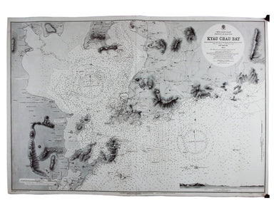
China – East Coast – Province of Shan Tung – Kyau Chau Bay This is a British chart of Jiaozhou Bay on the southern coast of the Shandong Peninsula....
View full details
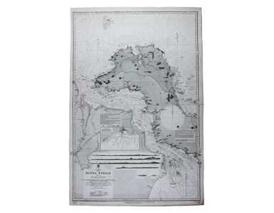
China Sea – Banka Strait This chart of the Bangka Strait was first published in 1858, but revised from British and Dutch surveys. Bangka and Sumatr...
View full details
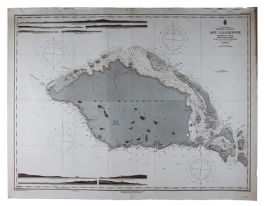
Bismark Archipel – Neu Hannover This is a German chart of New Hanover Island or Lavongai in the Bismarck Archipelago of Papua New Guinea. German Ne...
View full details
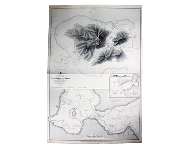
South Pacific Ocean – Santa Cruz Islands – Vanikoro Islands (La Pérouse) This British chart of Vanikoro was first published in 1873, with correctio...
View full details

Stiller Ozean – Hermit Inseln This is a German chart of the Hermit Islands in the Bismarck Archipelago of Papua New Guinea. German New Guinea, a Ge...
View full details
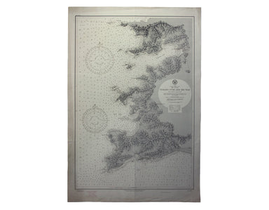
Japan – Honshu – South Coast – Kii Suido – Yurano Uchi and Hii Wan This sea chart covers a stretch of coastline to the south of Osaka and Wakayama ...
View full details
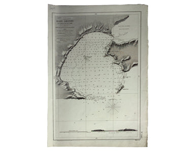
Japón – Cote Est de Yesso – Baie Akishi This is a French chart of Akkeshi Bay, located in Kushiro Subprefecture on the east coast of Hokkaido, the ...
View full details
