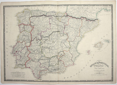
£300.00
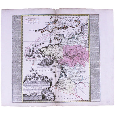
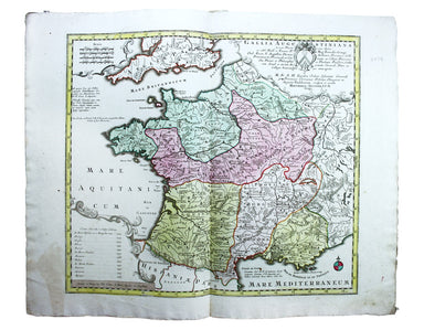
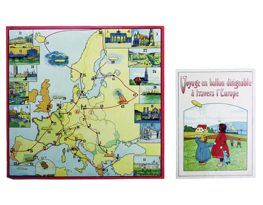
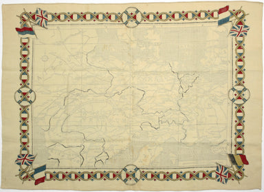
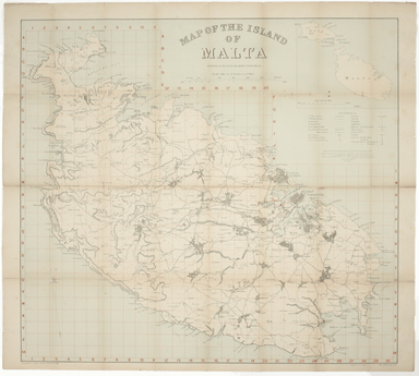
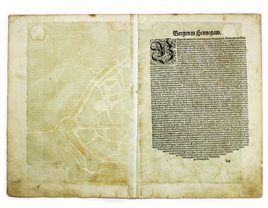
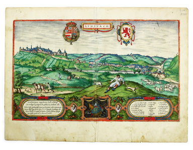
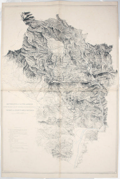
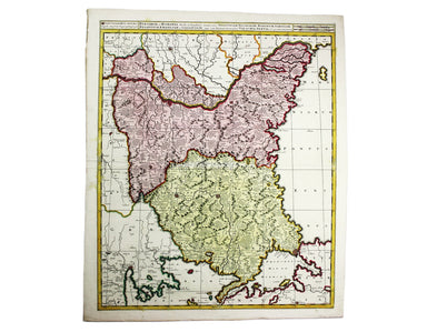
The Destruction of the French Fleet at Quiberon Bay 1759
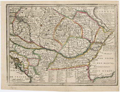
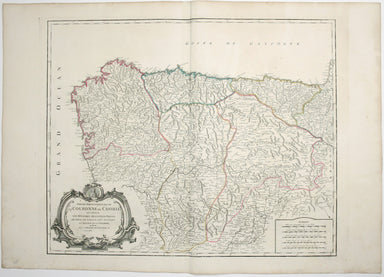
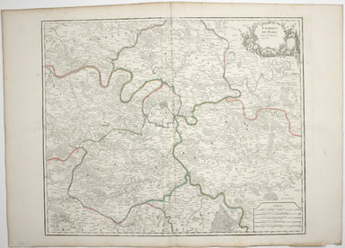
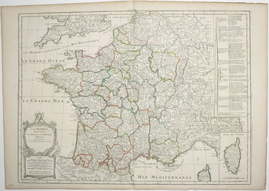
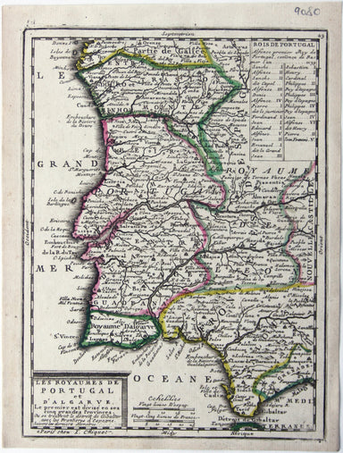
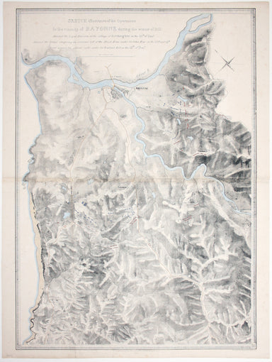
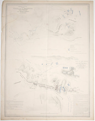
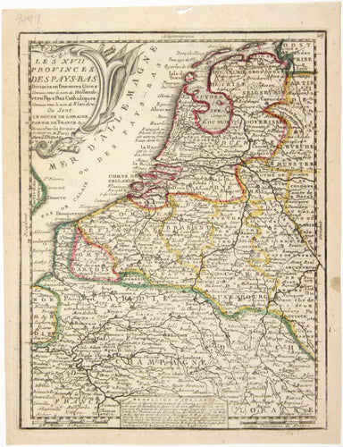
Brittische Übermacht zur See wieder Franckreich Ao. 1759... Superiorite Britannique par Mer contre La France l'An 1759... This map is a contemporar...
View full details