£250.00
The Empire Information Project Map of Cyprus
This simplified map of Cyprus was a visual aid published as sheet 4 in a portfolio titled ‘Empire Information Project. The island is surrounded by ...
View full detailsThis simplified map of Cyprus was a visual aid published as sheet 4 in a portfolio titled ‘Empire Information Project. The island is surrounded by ...
View full details
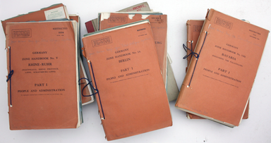
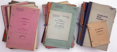
This is a collection of 61 intelligence handbooks, 1943-1945, covering enemy and occupied countries and compiled by the Foreign Office and Ministry...
View full detailsMorea olim Peloponnesus Condition & Materials Copper engraving, 34 x 41.5 cm, original hand colour, trivial spotting, French text on verso. Re...
View full detailsGraeciae Pars Meridionalis / Graciae Antiquae Tabula Nova in qua locorum situs tum ad distantias itinerarias tum ad Observationes Astronomicas exac...
View full details