
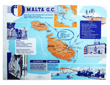
The Empire Information Project Map of Malta
Come for the Stone Age remains, stay for the rawhide... This simplified map of Malta and Gozo is surrounded by views, statistics and historical inf...
View full details

Come for the Stone Age remains, stay for the rawhide... This simplified map of Malta and Gozo is surrounded by views, statistics and historical inf...
View full details
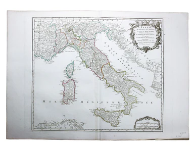
L’Italie qui comprend les Etats de Piémont, les Duchés de Milan, de Parme, de Modene, de Mantoue etc., les Républiques de Genes, de Venise, de Luqu...
View full details
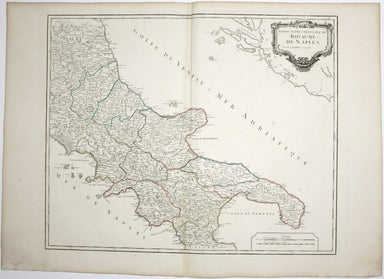
Partie Septentrionale du Royaume de Naples This is a later state of Robert de Vaugondy’s map of the northern part of the Kingdom of Naples. The ori...
View full details
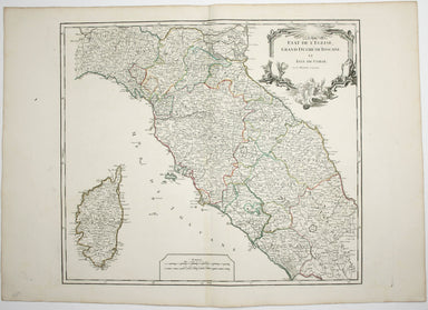
Etat de l’Eglise, Grand Duché de Toscane, et Isle de Corse This is a later state of Robert de Vaugondy’s map of the Papal States, Tuscany and Corsi...
View full details
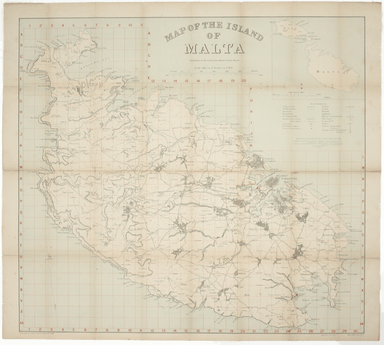
In the 1920s Valletta was the location of the Royal Navy's Mediterranean Fleet's headquarters. Prepared on the island, this map of Malta has a grid...
View full details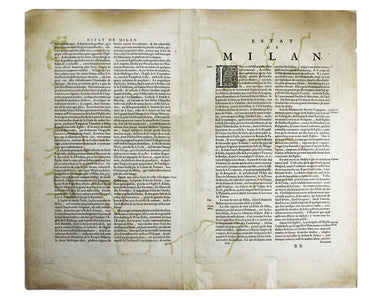
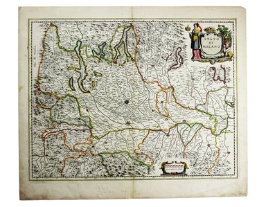
This map of Milan shows towns heightened in gold. Condition & Materials Copper engraving, 41.5 x 54 cm, original hand-colour, closed tears, min...
View full details
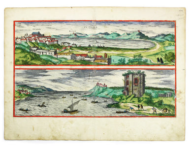
Views of two towns on the Bay of Naples, Pozzuoli and Baia, are here presented on one sheet. The Civitates Orbis Terrarum was one of the most signi...
View full details
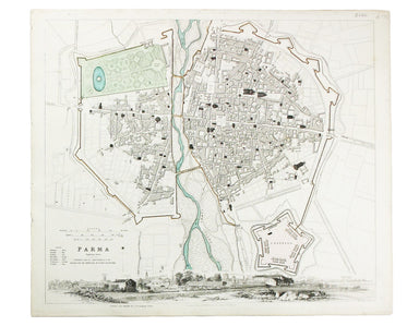
This map includes a panoramic view of Parma at its foot, blank. The Society for the Diffusion of Useful Knowledge was founded in 1826 with the high...
View full details
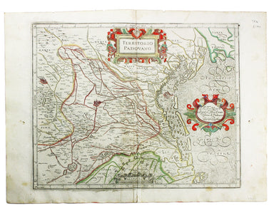
This significant and original regional map of Padua is from Magini's great work, the first detailed national atlas of Italy, published posthumously...
View full details
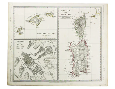
This map of the Balearics, Corsica, Sardinia and Valetta was published by the SDUK The Society for the Diffusion of Useful Knowledge was founded in...
View full details
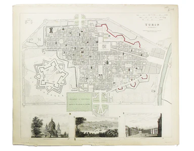
This map of Turin was published by the SDUK. The Society for the Diffusion of Useful Knowledge was founded in 1826 with the high-minded aim of maki...
View full details
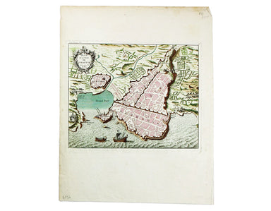
Condition & Materials Copper engraving, 21 x 25.5 cm, original hand-colour, on a folio leaf 37 x 29 cm, blank verso.
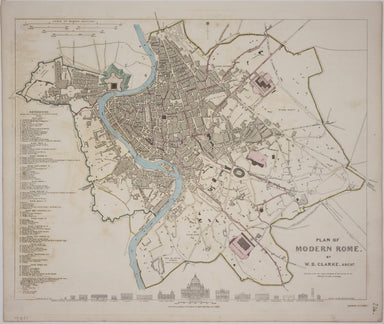
At the foot of this map are architectural elevations of some of Rome’s most famous post-classical buildings, dominated by St Peter’s. Rome was then...
View full details
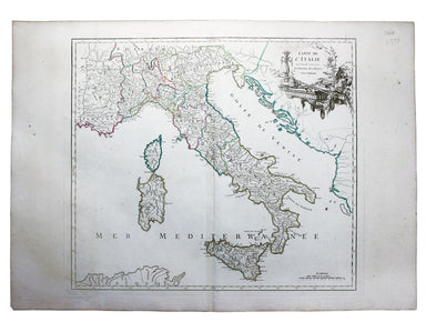
Carte de l’Italie, dans laquelle sont tracées les Routes des Postes This is a later state of Robert de Vaugondy’s road map of Italy, showing the Ve...
View full details
