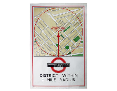
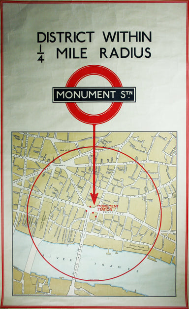
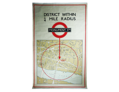
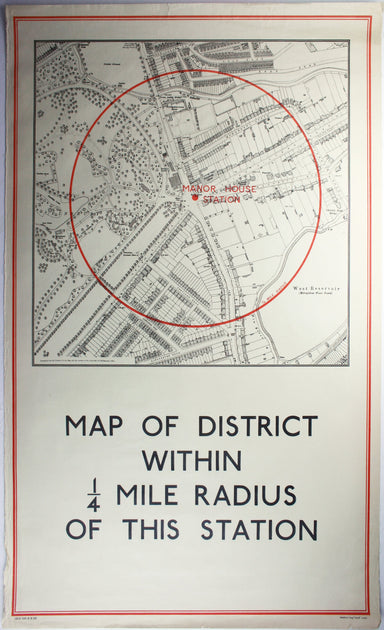
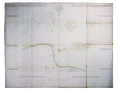
Stanford's Library Map of London, Northeastern Sheet
This is the North Eastern sheet of Stanford’s Library Map, extending as far east as Straford and West Ham; further sheets were available to extend ...
View full details
This is the North Eastern sheet of Stanford’s Library Map, extending as far east as Straford and West Ham; further sheets were available to extend ...
View full details
Stanford’s map of London and the twelve miles round was published in various editions between (at least) 1860 and 1903. Condition & MaterialsLi...
View full details
District within ¼ mile radius [of] South Harrow Stanford’s was a firm of map publishers as well as map retailers until after the Second World War, ...
View full details
District within ¼ mile radius [of] Turnpike Lane Stanford’s was a firm of map publishers as well as map retailers until after the Second World War,...
View full details
District within ¼ mile radius [of] Monument Stanford’s was a firm of map publishers as well as map retailers until after the Second World War, with...
View full details
A Map of the Metropolitan Boroughs within the County of London The date of publication in the lower margin of this map is significant: 25th October...
View full details
District within ¼ mile radius [of] Manor House Stanford’s was a firm of map publishers as well as map retailers until after the Second World War, w...
View full details
District within ¼ mile radius [of] Uxbridge Stanford’s was a firm of map publishers as well as map retailers until after the Second World War, with...
View full details
District within ¼ mile radius [of] Paddington Praed Street Stanford’s was a firm of map publishers as well as map retailers until after the Second ...
View full details
The introduction of Beck's diagram did not obviate the need for geographically accurate maps, which pinpointed the location of Underground stations...
View full details