£650.00


Stanley's First Trans-Africa Expedition
Map showing the Western/Eastern Half of Equatorial Africa and the Explorations by Land and Water of Henry M. Stanley in the Years 1874-77 This map ...
View full detailsMap showing the Western/Eastern Half of Equatorial Africa and the Explorations by Land and Water of Henry M. Stanley in the Years 1874-77 This map ...
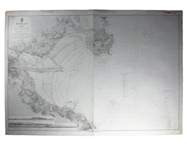
View full detailsThis chart of Dublin bay shows soundings etc, with interior detail of relief and settlements (including eastern Dublin), and inset coastal profiles...
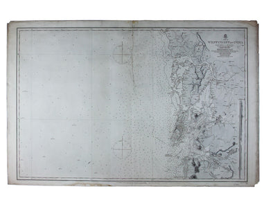
View full detailsSheet III – West Coast of India – from Arnol I. to Kundari I This chart shows the approaches to Bombay harbour, modern Mumbai, with significant det...
View full details