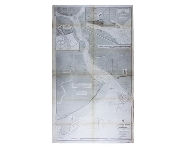
Admiralty Chart of the Approach to Rangoon
Burma – Gulf of Mataban – Rangoon River and Approaches This chart covers the mouth of the river between Rangoon (Yangon) and the sea. It shows vill...
View full details

Burma – Gulf of Mataban – Rangoon River and Approaches This chart covers the mouth of the river between Rangoon (Yangon) and the sea. It shows vill...
View full details
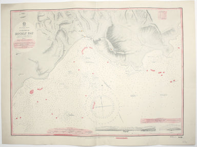
West Indies – Tobago – Scarborough – Rockly Bay This chart of Rockly Bay shows soundings etc, with interior detail of relief, roads and settlements...
View full details
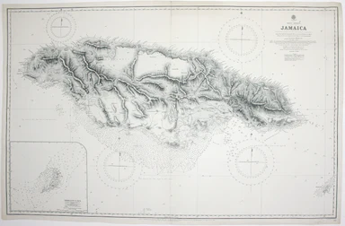
This chart of Jamaica shows soundings etc, with interior detail of relief, roads and settlements, and an inset of Morant Cays. First published in 1...
View full details
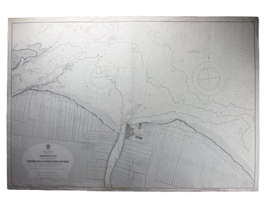
South America – British Guiana – Georgetown and mouths of Demerara and Essequibo Rivers This British chart of Georgetown shows soundings etc, with ...
View full details
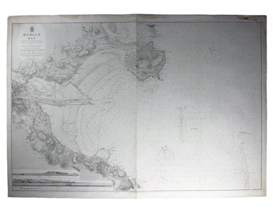
This chart of Dublin bay shows soundings etc, with interior detail of relief and settlements (including eastern Dublin), and inset coastal profiles...
View full details

This British chart of Durban port was engraved by John and Charles Walker. It shows soundings etc, interior detail of relief and settlements includ...
View full details
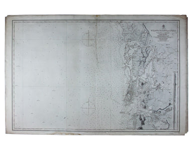
Sheet III – West Coast of India – from Arnol I. to Kundari I This chart shows the approaches to Bombay harbour, modern Mumbai, with significant det...
View full details
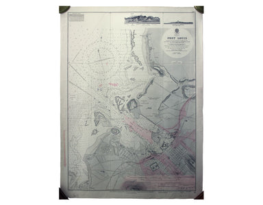
Port Louis is the capital and principal port of Mauritius, which remained a British colony until 1968. Condition & Materials Engraved British c...
View full details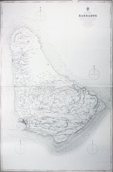
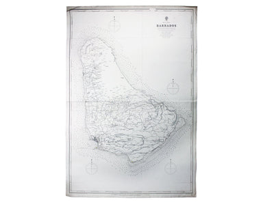
Preliminary Chart – West Indies – Barbados This chart of Barbados shows sands and soundings etc, with interior detail of relief, roads and settleme...
View full details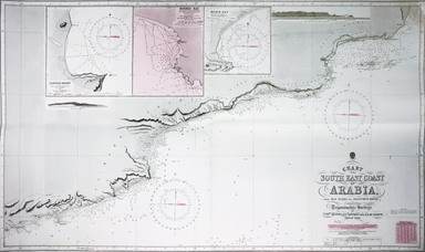
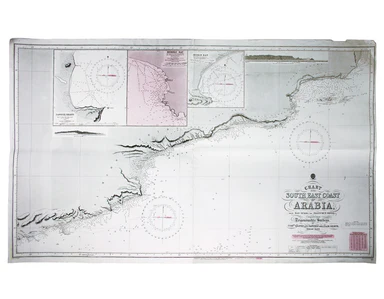
Chart of the South East Coast of Arabia from Ras Sukra to Palinurus Shoal, compiled from trigonometric Surveys First published in 1860 with correct...
View full details
