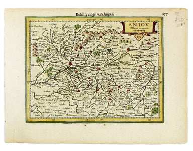
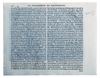
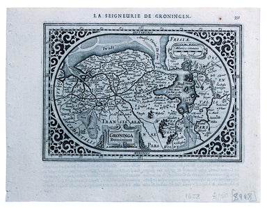
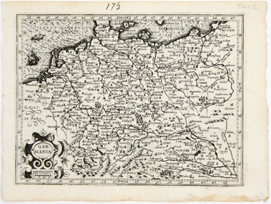
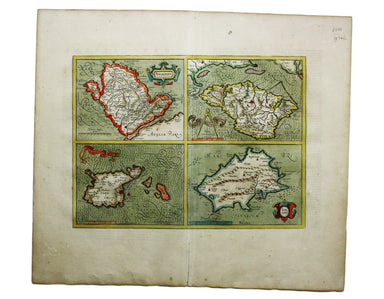
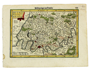
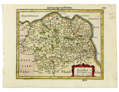
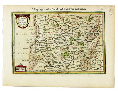
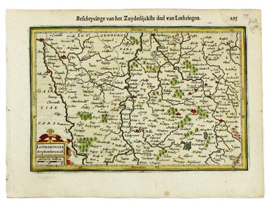
Mercator’s Miniature Map of Groningen
This map of the province of Groningen in the Netherlands, set within an elaborate strapwork border, was published in the ‘Atlas Minor’. A new serie...
View full details
This map of the province of Groningen in the Netherlands, set within an elaborate strapwork border, was published in the ‘Atlas Minor’. A new serie...
View full details
This map shows the ‘Germanic’ regions of Europe, including the Low Countries, Poland and Austria, and was engraved by Jodocus Hondius for the ‘Atla...
View full details
Britannia et Normandia cum consiniis This map of Brittany and Normandy was engraved by Jodocus Hondius for the ‘Atlas Minor’. Condition & Mater...
View full details
La VIII Table d’Angleterre/Anglesey, Wight, Vectis olim, Garnsey, Iarsay Islands around the British coast were often grouped, in various combinatio...
View full details
This map of the northern part of Scotland is from the Hondius-Janssonius map publishing business, which traced its roots back to Gerardus Mercator....
View full details
This is the southwestern sheet of Mercator’s five regional maps of England and Wales; Janssonius revised the decorative elements in the 1630s, but ...
View full details
Anglesey Ins[ula]; Wight ol[im] Vectis; Ins[ula] Garnsey; Ins[ula] Iarsay This map of Anglesey, the Isle of Wight, Guernsey and Jersey was engraved...
View full details
This map of Île-de-France, the Paris region north of the Seine, is from the Atlas Minor. The original plates were engraved by Jodocus Hondius, but ...
View full details
This is Mercator's map of Pays Boulonnais and Guînes from the Atlas Minor. The original plates were engraved by Jodocus Hondius, but after these we...
View full details
This map of Southern Lorraine is from the Atlas Minor. The original plates were engraved by Jodocus Hondius, but after these were sold to the Londo...
View full details
This map of Northern Lorraine is from the Atlas Minor. The original plates were engraved by Jodocus Hondius, but after these were sold to the Londo...
View full details
This map of Anjou is from the Atlas Minor. The original plates were engraved by Jodocus Hondius, but after these were sold to the London trade in t...
View full details
This map shows the ‘Germanic’ regions of Europe, including the Low Countries, Poland and Austria, engraved by Pieter van den Keere. The 'Atlas Mino...
View full details