1910 Passenger Map of the Hudson River Tubes
SKU: 8840
Title:
1910 Passenger Map of the Hudson River Tubes
Date of publication:
Printed Measurement:
Colour:
Mapmaker:
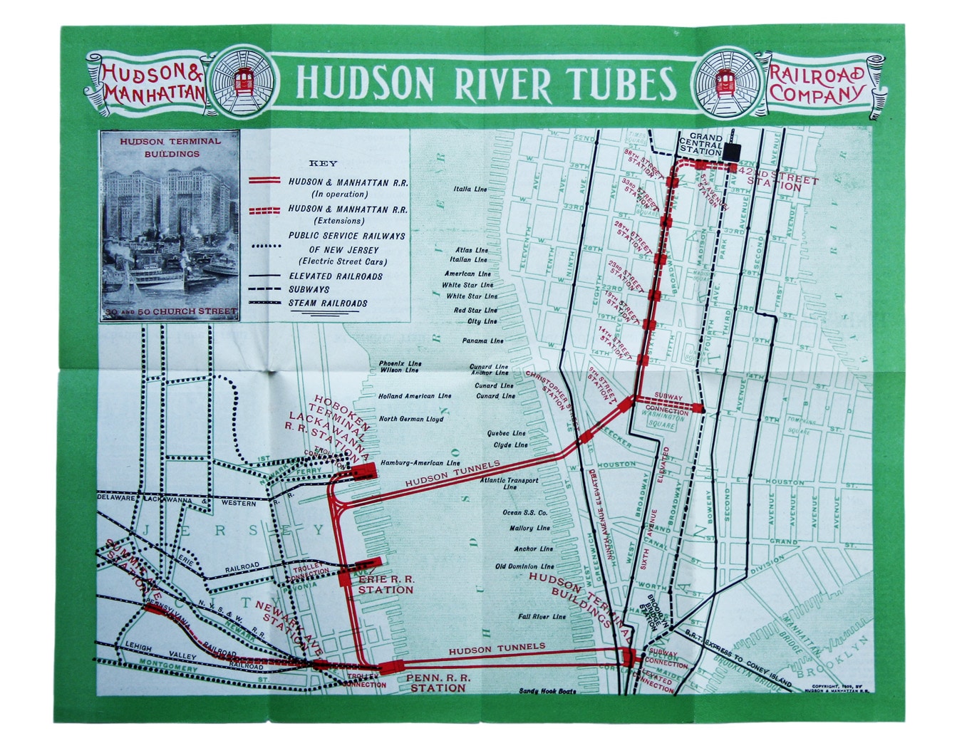
A July 1910 map of the Uptown and Downtown Hudson Tubes, pairs of tunnels connecting Jersey City with Greenwich Village in New York and with the Hudson Terminal, the future site of the World Trade Center.
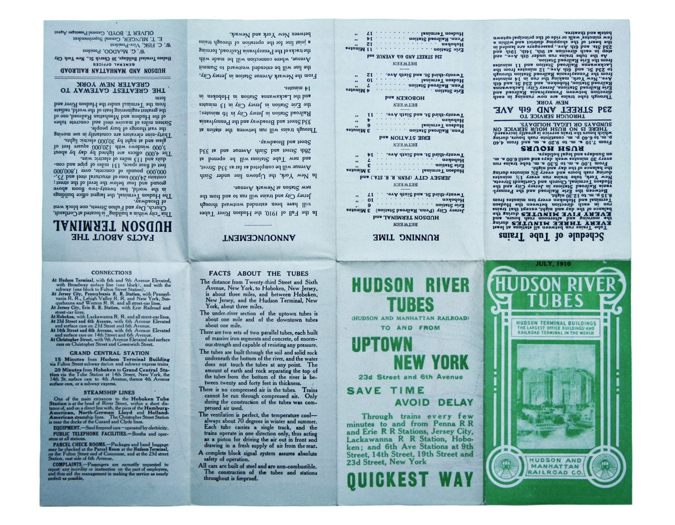
After a number of false starts, the tunnels were built between 1902 and 1909, opening for passenger services in phases between 1908 and 1909. ‘Facts about the Tubes’ on the verso seek to reassure early commuters: the tubes are built through the rock below the river, so that ‘water does not touch the tubes at any point’; ‘there is no compressed air in the tubes’ (it was only used as part of the construction process); ‘the ventilation is perfect’; ‘all cars are built of steel and are non-combustible’. Read more
There is some crossover with London Underground mapping of the period. The nickname ‘tube’ had recently been coined for London’s deep-level tunnels, and the green border had been a distinctive feature of UERL mapping since 1906. The map also marks the piers where the great ocean liners docked, including the White Star Line piers which were due to be RMS Titanic’s final destination a couple of years after this map was made.
Condition & Materials
Passenger map, 22.5 x 27.5 cm, printed in three colours, text on verso. Read less


