

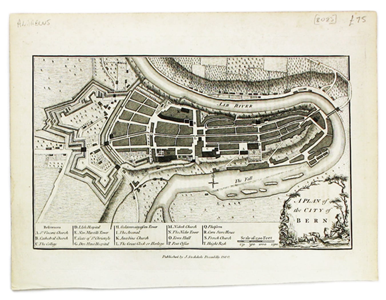
Andrews’ Map of Berne
SKU: 8025
Title:
Andrews’ Map of Berne
Date of publication:
Printed Measurement:
Publisher:
Colour:
Mapmaker:
This map of Berne was first published in 'A collection of plans of the capital cities of Europe' in 1771.
The plates seem to have been acquired by Stockdale after Andrews' death in 1798.
Read more
Condition & Materials
Copper engraving, 19 x 27.5 cm, black and white, blank verso. Read less