Bryars & Bryars
Bellin’s Map of Tibet
Bellin’s Map of Tibet
Couldn't load pickup availability
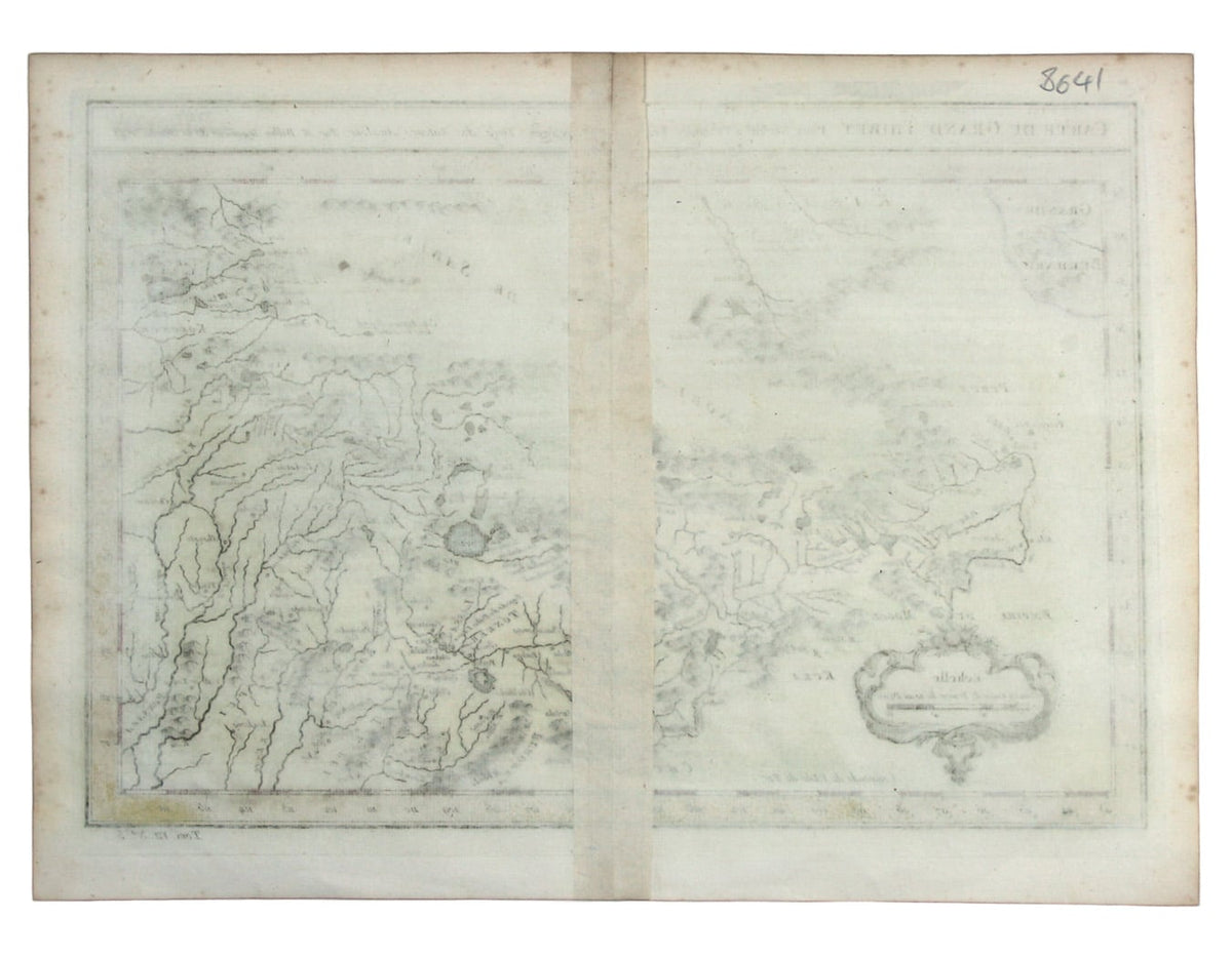
Carte du Grand Thibet. Pour Servir à l’Histoire Generale des Voyages. Tirée des Auteurs Anglois…
Bellin notes that his map of Tibet was compiled from British sources, although most of the European knowledge of the region in the first part of the 18th century was via Jesuit and Capuchin missionaries.
The map is detailed for the period, and includes the ‘Pagode du Dalai Lama’, presumably the Potala Palace. Lhasa appears to be named ‘Pontala’ on the map, and the region is given the name ‘Lassa’.
Jacques Nicolas Bellin the elder (1703-1772) was first chief hydrographic engineer of the ‘Dépôt des cartes, plans et journaux du Ministère de la Marine’, charged by the French king with mapping the coasts of France first and then the rest of the world. He was also a member of the Royal Society of London. Bellin compiled the maps for Prévost's Histoire Générale des Voyages, and he later reworked them for his Petit Atlas Francaise and his Petit Atlas Maritime.
Condition & Materials
Copper engraving, 23 x 26 cm, modern colour, blank verso.
Share