

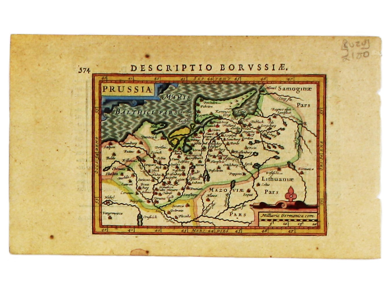
Bertius’ Miniature Map of Prussia
SKU: 8020
Title:
Bertius’ Miniature Map of Prussia
Date of publication:
Printed Measurement:
Colour:
Mapmaker:
Engraver:
This miniature map of Prussia is from the first edition of Tabularum geographicarum contractarum libri, a geographical work which is normally catalogued under the name of its author, Bertius.
The maps are generally reduced from the cartography in the folio Mercator-Hondius atlas, and were mostly engraved by Jodocus Hondius, eldest son of the printer, who also bears the same name. Geoffrey King calls them "undoubtedly the finest set of miniature maps ever printed" Read more
Condition & Materials
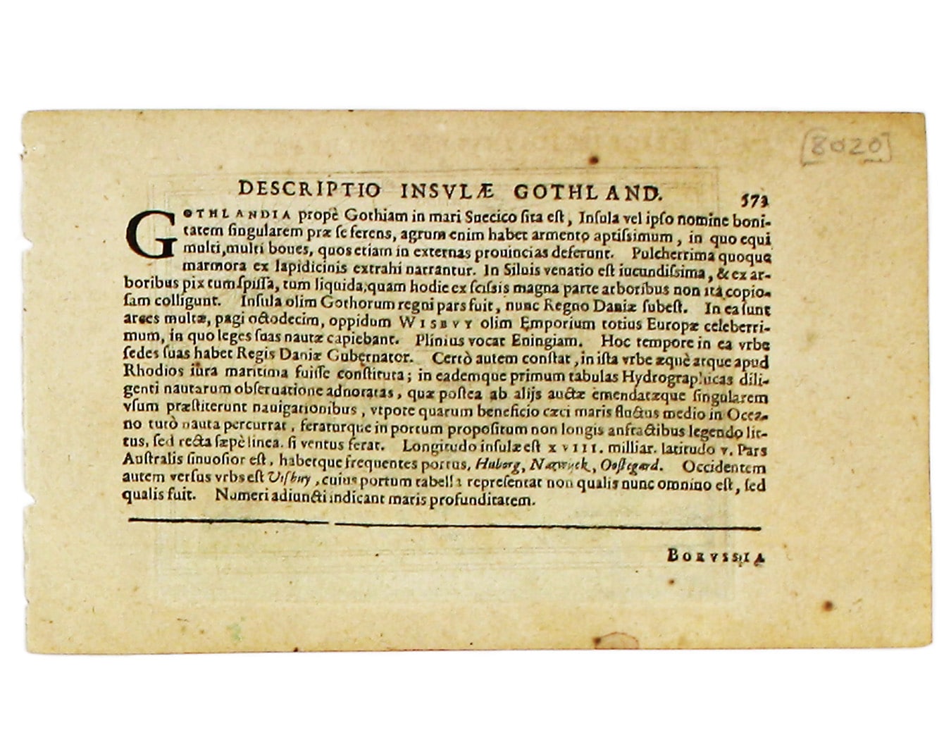
Copper engraving, each 9.7 x 13.5 cm, modern hand-colour, Latin text on verso.
References
Miniature Antique Maps p. 96 Read less